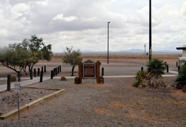
Near Lordsburg in Hidalgo County, New Mexico — The American Mountains (Southwest)
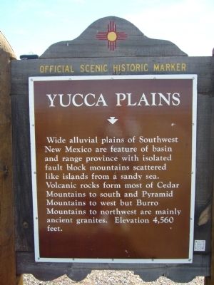
Yucca Plains / Yucca
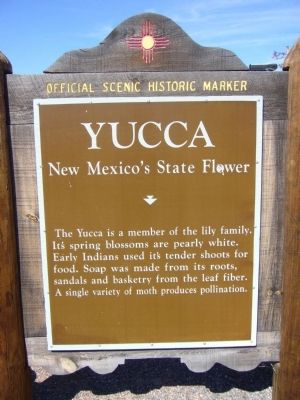
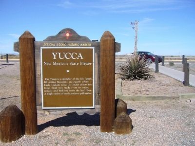
/ New Mexico's State Flower
Wide alluvial plains of Southwest New Mexico are feature of basin and range province with isolated fault block mountains scattered like islands from a sandy sea. Volcanic rocks form most of Cedar Mountains to south and Pyramid Mountains to west but Burro Mountains to northwest are mainly ancient granites. Elevation 4,560 feet.
Marker Reverse:
The Yucca is a member of the lily family. Its spring blossoms are pearly white. Early Indians used its tender shoots for food. Soap was made from its roots, sandals and basketry from the leaf fiber. A single variety of moth produces pollination.
Topics. This historical marker is listed in these topic lists: Natural Features • Natural Resources.
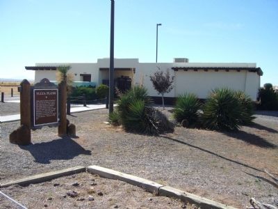
Location. 32° 12.167′ N, 108° 14.9′ W. Marker is near Lordsburg, New Mexico, in Hidalgo County. Marker can be reached from Interstate 10 at milepost 53. Marker is in the eastbound rest area. Touch for map. Marker is in this post office area: Lordsburg NM 88045, United States of America. Touch for directions.
Other nearby markers. At least 1 other marker is within 8 miles of this marker, measured as the crow flies. Cooke’s Wagon Road (approx. 7˝ miles away).
Credits. This page was last revised on June 16, 2016. It was originally submitted on November 20, 2010, by Bill Kirchner of Tucson, Arizona. This page has been viewed 1,018 times since then and 33 times this year. Last updated on May 9, 2011, by Bill Kirchner of Tucson, Arizona. Photos: 1, 2, 3, 4. submitted on November 20, 2010, by Bill Kirchner of Tucson, Arizona. 5. submitted on July 24, 2013, by PaulwC3 of Northern, Virginia. • Syd Whittle was the editor who published this page.
