West Seventh - Fort Road in Saint Paul in Ramsey County, Minnesota — The American Midwest (Upper Plains)
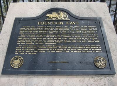
Fountain Cave
Before the land east of the Mississippi was opened to settlement, Pierre "Pig's Eye" Parrant, a vagrant voyageur who sold whisky illegally to soldiers and Indians, in 1837 staked a claim where the ravine met on the river. Here in 1838 he built a saloon - a small hovel that was the first building on the site of what is now St. Paul. He was followed during that year by several refugee settlers who had been ousted from the Fort Snelling military reservation.
For many decades tourists visited Fountain Cave to view its pure white sandstone walls and mysterious interior chambers. Through the years debris accumulated to block its entrance. Construction of a highway in the early 1960s made it necessary to fill in most of the ravine, so that there is now no visible indication where the cave is located.
Erected 1962 by the City of Saint Paul; the Minnesota Historical Society.
Topics and series. This historical marker is listed in these topic lists: Exploration • Settlements & Settlers. In addition, it is included in the Minnesota Historical Society series list. A significant historical year for this entry is 1811.
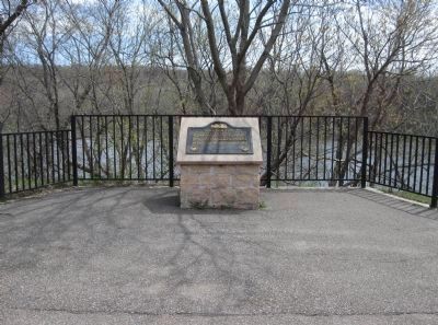
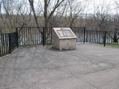
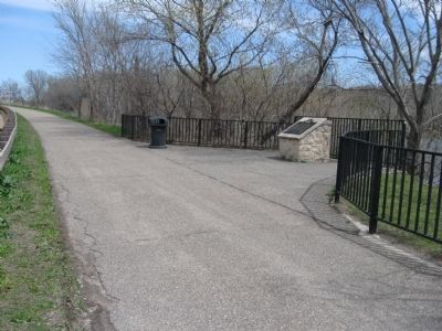
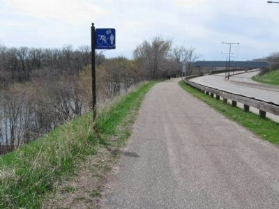
Location. 44° 55.404′ N, 93° 7.361′ W. Marker is in Saint Paul, Minnesota, in Ramsey County. It is in West Seventh - Fort Road. Marker is on Shepard Road (County Highway 37) half a mile east of Otto Avenue, on the right when traveling east. Marker is along a bike/walking path; vehicle parking is not available in the area. Touch for map. Marker is in this post office area: Saint Paul MN 55102, United States of America. Touch for directions.
Other nearby markers. At least 8 other markers are within 2 miles of this marker, measured as the crow flies. Industry at the River's Edge / West Seventh Street and Fort Road (approx. 0.3 miles away); 151-155 Western Avenue (approx. 0.8 miles away); C.S.P.S. Hall (approx. 0.9 miles away); F. Scott Fitzgerald House (approx. 1.3 miles away); Summit Lookout Park (approx. 1.3 miles away); The New York Life Eagle (approx. 1.3 miles away); River Commerce and the Upper Landing (approx. 1.4 miles away); Thomas Cochran Park (approx. 1.4 miles away). Touch for a list and map of all markers in Saint Paul.
Also see . . .
1. National Park Service. Fountain Cave. "The entrance is niether evident nor accessible... Fountain Cave was estimated to have been 1,150 feet in length, and was possibly Minnesota's longest natural sandstone cave." (Submitted on May 10, 2011.)
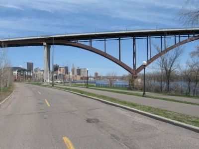
2. High Bridge. Wikipedia entry. "The High Bridge is a bridge that carries Minnesota State Highway 149 over the Mississippi River in St. Paul, Minnesota... the highest bridge in St. Paul." (Submitted on May 10, 2011.)
Credits. This page was last revised on February 12, 2023. It was originally submitted on May 10, 2011, by Keith L of Wisconsin Rapids, Wisconsin. This page has been viewed 2,630 times since then and 233 times this year. Photos: 1, 2, 3, 4, 5, 6. submitted on May 10, 2011, by Keith L of Wisconsin Rapids, Wisconsin.
