Near Morven in Anson County, North Carolina — The American South (South Atlantic)
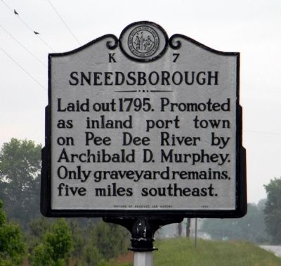
Sneedsborough
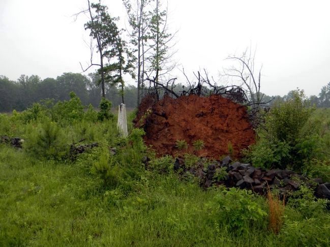
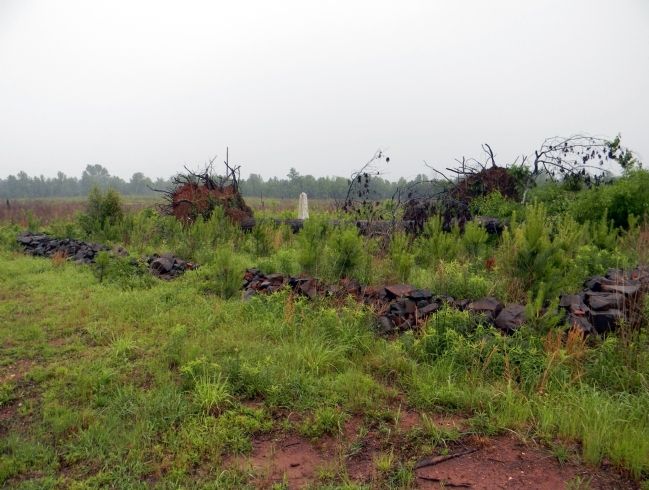
Laid out 1795. Promoted as inland port town on Pee Dee River by Archibald D. Murphey. Only graveyard remains, five miles southeast.
Erected 1938. (Marker Number K-7.)
Topics and series. This historical marker is listed in these topic lists: Cemeteries & Burial Sites • Settlements & Settlers. In addition, it is included in the North Carolina Division of Archives and History series list. A significant historical year for this entry is 1795.
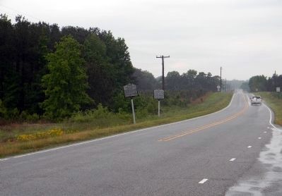
Location. 34° 51.002′ N, 79° 59.446′ W. Marker is near Morven, North Carolina, in Anson County. Marker is at the intersection of U.S. 52 and Old Sneedsboro Road (North Carolina Highway 1829), on the right when traveling south on U.S. 52. Touch for map. Marker is in this post office area: Morven NC 28119, United States of America. Touch for directions.
Other nearby markers. At least 8 other markers are within 9 miles of this marker, measured as the crow flies. John J. McRae (a few steps from this marker); North Carolina / South Carolina (approx. 3.2 miles away); Sherman's March (approx. 5.9 miles away); a different marker also named Sherman's March (approx. 6.4 miles away); a different marker also named North Carolina / South Carolina (approx. 6˝ miles away); Pegues Place / Revolutionary Cartel (approx. 6.7 miles away in South Carolina); a different marker also named Sherman's March (approx. 6.8 miles away); Samuel Spencer (approx. 8.1 miles away).
Also see . . .
1. A History of Sneedsborough, North Carolina. Almost Everything You Ever Wanted to Know About North Carolina - Its History and Its People website entry (Submitted on January 17, 2022, by Larry Gertner of New York, New York.)
2. Old Sneedsborough Cemetery. Anson County Historical Society website entry (Submitted on May 10, 2011, by PaulwC3 of Northern, Virginia.)
Credits. This page was last revised on January 17, 2022. It was originally submitted on May 10, 2011, by PaulwC3 of Northern, Virginia. This page has been viewed 1,172 times since then and 57 times this year. Photos: 1, 2, 3, 4. submitted on May 10, 2011, by PaulwC3 of Northern, Virginia.


