Tonopah in Nye County, Nevada — The American Mountains (Southwest)
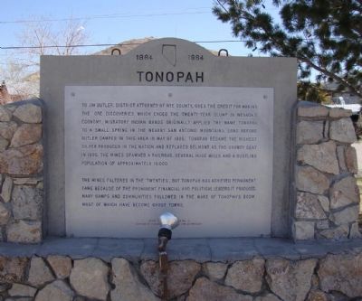
Tonopah
The mines faltered in the 'Twenties', but Tonopah has achieved permanent fame because of the prominent financial and political leaders it produced. Many camps and communities followed in the wake of Tonopah's boom. Most of which have become ghost towns.
Erected by Division of Historic Preservation and Archeology. (Marker Number 15.)
Topics. This historical marker is listed in this topic list: Settlements & Settlers. A significant historical month for this entry is May 1900.
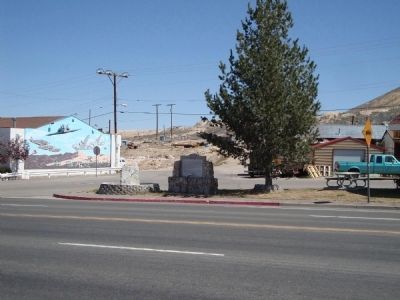
Location. 38° 4.02′ N, 117° 13.746′ W. Marker is in Tonopah, Nevada, in Nye County. Marker is at the intersection of Erie Street (U.S. 95) and Florence Avenue, on the right on Erie Street. Touch for map. Marker is in this post office area: Tonopah NV 89049, United States of America. Touch for directions.
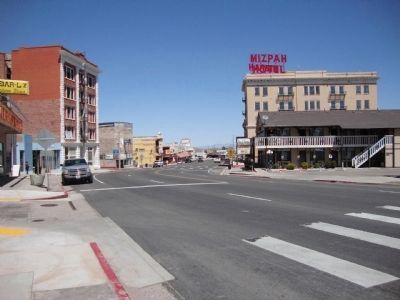
Other nearby markers. At least 8 other markers are within walking distance of this marker. "Big" Bill Murphy (about 500 feet away, measured in a direct line); Belmont Mine Fire Mural (about 500 feet away); Mizpah Hotel (about 700 feet away); Suffrage Leader (about 700 feet away); County Court House (about 700 feet away); Silver Top Mine (approx. 0.2 miles away); A Miner's Life (approx. 0.2 miles away); Mine To Market (approx. 0.2 miles away). Touch for a list and map of all markers in Tonopah.
Also see . . . New Amended Text for Marker. The Nevada State Historic Preservation Office (SHPO) recently updated the text of the roughly 260 state historical markers in Nevada. The Nevada SHPO placed the amended text of each individual marker on its website and will change the actual markers in the field as funding allows. Minor changes have been made to the marker for grammar and readability. The link will take you to the Nevada SHPO page for the marker with the amended text. (Submitted on November 12, 2013, by Duane Hall of Abilene, Texas.)
Credits. This page was last revised on November 13, 2018. It was originally submitted on May 15, 2011, by Mh of Las Vegas, Nevada. This page has been viewed 564 times since then and 24 times this year. Photos: 1, 2, 3. submitted on May 15, 2011, by Mh of Las Vegas, Nevada. • Syd Whittle was the editor who published this page.


