Blythewood in Richland County, South Carolina — The American South (South Atlantic)
Sandfield Baptist Church / Sandfield Cemetery
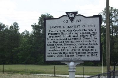
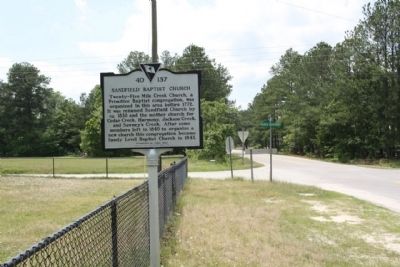
Twenty-Five Mile Creek Church, a Primitive Baptist congregation, was organized in this area before 1772. It was renamed Sandfield Church by ca. 1830 and the mother church for Cedar Creek, Harmony, Jackson Creek, and Sawney’s Creek. After some members left in 1840 to organize a new church this congregation became Sandy Level Baptist Church in 1843.
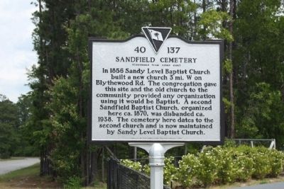
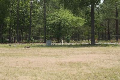
Sandfield Cemetery
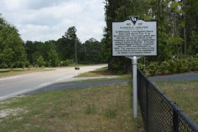
In 1856 Sandy Level Baptist Church built a new church 3 mi. W on Blythewood Rd. The congregation gave this site and the old church to the community provided any organization using it would be Baptist. A second Sandfield Baptist Church, organized here ca. 1870, was disbanded ca. 1938. The cemetery here dates to the second church and is now maintained by Sandy Level Baptist Church.
Erected 2007 by Sandy Level Baptist Church. (Marker Number 40-137.)
Topics. This historical marker is listed in these topic lists: Cemeteries & Burial Sites • Churches & Religion. A significant historical year for this entry is 1772.
Location. 34° 13.261′ N, 80° 56.339′ W. Marker is in Blythewood, South Carolina, in Richland County. Marker is on N. Melton Road, (Sandfield Road) near Russ Brown Road, on the right when traveling east. Touch for map. Marker is in this post office area: Blythewood SC 29016, United States of America. Touch for directions.
Other nearby markers. At least 8 other markers are within 6 miles of this marker, measured as the crow flies. Blythewood School (approx. 1.9 miles away); George P. Hoffman House (approx. 1.9 miles away); Bethel Baptist Church (approx. 2.3 miles away); Sandy Level Baptist Church (approx. 2.9 miles away); Killian School (approx. 5.7 miles away); In Memory of the John H. Rose Family (approx. 5.9 miles away); Killian Road Baptist Church Cemetery Confederate Soldiers Monument (approx. 6 miles away); Confederate Headquarters (approx. 6 miles away). Touch for a list and map of all markers in Blythewood.
Related marker. Click here for another marker that is related to this marker. study marker shown., Sandy Level Baptist Church
Credits. This page was last revised on February 16, 2023. It was originally submitted on June 4, 2011, by Mike Stroud of Bluffton, South Carolina. This page has been viewed 869 times since then and 13 times this year. Photos: 1, 2, 3, 4, 5. submitted on June 5, 2011, by Mike Stroud of Bluffton, South Carolina.
