Locust Grove in Orange County, Virginia — The American South (Mid-Atlantic)
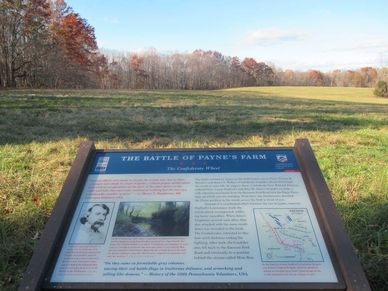
The Battle of Payne’s Farm
The Confederate Wheel
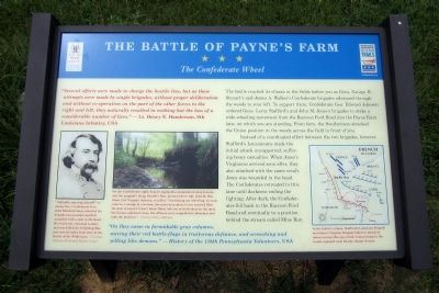
“On they came in formidable gray columns, waving their red battle-flags in traitorous defiance, and screeching and yelling like demons.” — History of the 138th Pennsylvania Volunteers, USA
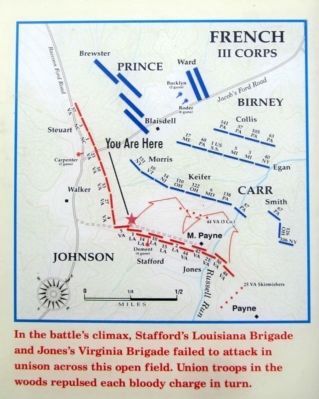
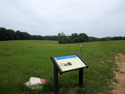
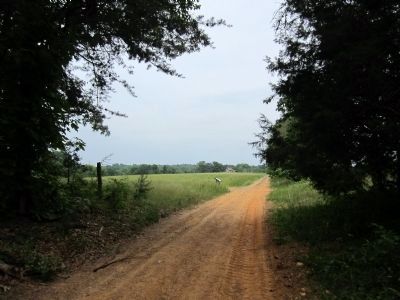
The battle reached its climax in the fields before you as Gens. George H. Steuart’s and James A. Walker’s Confederate brigades advanced through the woods to your left. To support them, Confederate Gen. Edward Johnson ordered Gens. Leroy Stafford’s and John M. Jones’s brigades to make a wide-wheeling movement from the Raccoon Ford Road into the Payne Farm lane, on which you are standing. From here, the Southerners attacked the Union position in the woods across the field in front of you.
Instead of a coordinated effort between the two brigades, however, Stafford’s Louisianans made the initial attack unsupported, suffering heavy casualties. When Jones’s Virginians arrived soon after, they also attacked with the same result. Jones was wounded in the head. The Confederates retreated to this lane until darkness ending the fighting. After dark, the Confederates fell back to the Raccoon Ford Road and eventually to a position behind the stream called Mine Run.
(captions)
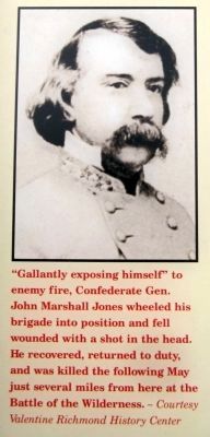
"Gallantly exposing himself” to enemy fire, Confederate Gen. John Marshall Jones wheeled his brigade into position and fell wounded with a shot in the head. He recovered, returned to duty, and was killed the following May just several miles from here at the Battle of the Wilderness. — Courtesy Valentine Richmond History Center
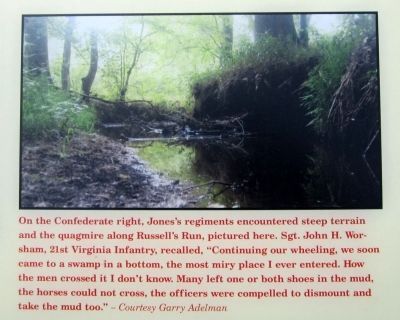
On the Confederate right, Jones’s regiments encountered steep terrain and the quagmire along Russell’s Run, pictured here. Sgt. John H. Worsham, 21st Virginia Infantry, recalled, “Continuing our wheeling, we soon came to a swamp in a bottom, the most miry place I ever entered. How the men crossed it I don’t know. Many left one or both shoes in the mud, the horses could not cross, the officers were compelled to dismount and take the mud too.” — Courtesy Gary Adelman
In the battle's climax, Stafford's Louisiana Brigade and Jones's Virginia Brigade failed to attack in unison across this open field. Union troops in the woods repulsed each bloody charge in turn.
Erected 2011 by The Civil War Trust and Virginia Civil War Trails.
Topics and series. This historical marker is listed in this topic list: War, US Civil. In addition, it is included in the Virginia Civil War Trails series list.
Location. 38° 20.064′ N, 77° 49.428′ W. Marker is in Locust Grove, Virginia, in Orange County. Marker can be reached from Zoar Road (Virginia Route 611) near Zoar School Road. Touch for map. Marker is at or near this postal address: 31334 Zoar Road, Locust Grove VA 22508, United States of America. Touch for directions.
Other nearby markers. At least 8 other markers are within walking distance of this marker. A different marker also named The Battle of Payne’s Farm (about 300 feet away, measured in a direct line); a different marker also named The Battle of Payne’s Farm (about 500 feet away); a different marker also named The Battle of Payne’s Farm (approx. 0.2 miles away); a different marker also named The Battle of Payne’s Farm (approx. 0.2 miles away); a different marker also named The Battle of Payne’s Farm (approx. 0.3 miles away); The Mine Run Campaign (approx. 0.3 miles away); a different marker also named The Mine Run Campaign (approx. 0.3 miles away); a different marker also named The Battle of Payne’s Farm (approx. 0.4 miles away). Touch for a list and map of all markers in Locust Grove.
Also see . . .
1. Mine Run (Payne's Farm). American Battlefield Trust (Submitted on June 6, 2011.)
2. The Mine Run Campaign by James K. Bryant II. Essential Civil War Curriculum, Virginia Center for Civil War Studies at Virginia Tech (Submitted on June 6, 2011.)
Credits. This page was last revised on February 23, 2022. It was originally submitted on June 6, 2011, by Bernard Fisher of Richmond, Virginia. This page has been viewed 1,231 times since then and 44 times this year. Photos: 1, 2, 3, 4. submitted on June 6, 2011, by Bernard Fisher of Richmond, Virginia. 5. submitted on February 22, 2022, by Benjamin Harrison Allen of Amissville, Virginia. 6, 7, 8. submitted on June 6, 2011, by Bernard Fisher of Richmond, Virginia.
