Near Wellsboro in Tioga County, Pennsylvania — The American Northeast (Mid-Atlantic)
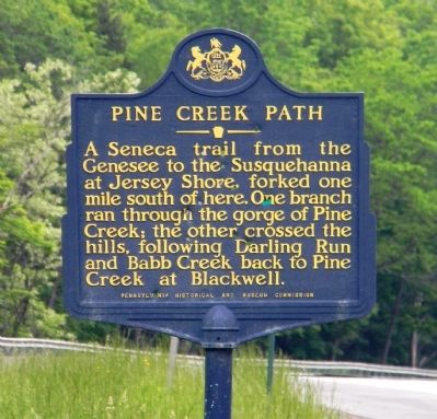
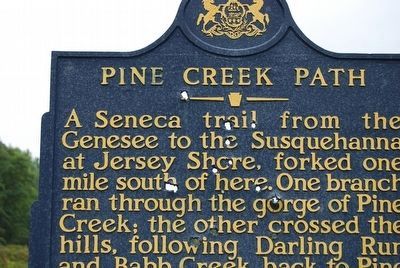
Pine Creek Path
Erected 1951 by Pensylvania Historical and Museum Commission.
Topics and series. This historical marker is listed in these topic lists: Native Americans • Roads & Vehicles. In addition, it is included in the Pennsylvania Historical and Museum Commission series list.
Location. 41° 44.925′ N, 77° 25.454′ W. Marker is near Wellsboro, Pennsylvania, in Tioga County. Marker is on Grand Army of the Republic Highway (U.S. 6 at milepost 211), 0.1 miles east of Pinecreek Road (State Road 362), on the right when traveling west. Touch for map. Marker is in this post office area: Wellsboro PA 16901, United States of America. Touch for directions.
Other nearby markers. At least 8 other markers are within 4 miles of this marker, measured as the crow flies. Our Gift from the Past (approx. 0.9 miles away); William A. Stone (approx. 2.6 miles away); United States Civilian Conservation Corps (approx. 3˝ miles away); Pine Creek Gorge (approx. 3˝ miles away); Live the Legacy (approx. 3.8 miles away); Pine Creek Gorge East Rim (approx. 3.8 miles away); Civilian Conservation Corps (approx. 3.8 miles away); Nessmuk (approx. 3.9 miles away). Touch for a list and map of all markers in Wellsboro.
Photographed By Paul Crumlish, June 4, 2011
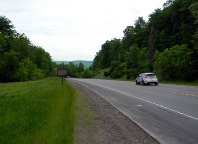
2. Wide view of the Pine Creek Path Marker
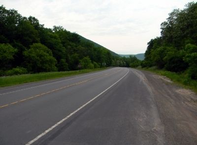
The some of the route of the foot path has now become U.S. Route 6 (Grand Army of the Republic Highway) used by thousands of cars and trucks each day. This includes competitors of the Susquehannock Trail Performance Rally, covering some of the same path as Native Americans did hundreds of years ago, as they transit to the competitive stages of the event.
Credits. This page was last revised on June 16, 2016. It was originally submitted on June 7, 2011, by PaulwC3 of Northern, Virginia. This page has been viewed 652 times since then and 28 times this year. Photos: 1, 2. submitted on June 7, 2011, by PaulwC3 of Northern, Virginia. 3. submitted on September 8, 2015, by Mike Wintermantel of Pittsburgh, Pennsylvania. 4, 5. submitted on June 7, 2011, by PaulwC3 of Northern, Virginia.
