Liberty in Tioga County, Pennsylvania — The American Northeast (Mid-Atlantic)
Williamson Road
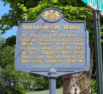
At Liberty was located a storage depot known as the Block House. It was built of logs, about 20x40 feet in size. Supplies were kept there and bread baked for the road builders, 1792-96.
Erected 1947 by Pennsylvania Museum and Historical Commission.
Topics and series. This historical marker is listed in these topic lists: Roads & Vehicles • Settlements & Settlers. In addition, it is included in the Pennsylvania Historical and Museum Commission series list.
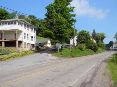
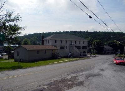
Location. 41° 33.533′ N, 77° 6.311′ W. Marker is in Liberty, Pennsylvania, in Tioga County. Marker is at the intersection of Shaffer Hill Road and Blockhouse Road (Pennsylvania Route 414), on the right when traveling north on Shaffer Hill Road. Touch for map. Marker is in this post office area: Liberty PA 16930, United States of America. Touch for directions.
Other nearby markers. At least 8 other markers are within 11 miles of this marker, measured as the crow flies. Staff Sergeant Ryan Scott Ostrom (within shouting distance of this marker); Veterans Memorial (within shouting distance of this marker); Site of the Block House (within shouting distance of this marker); William B. Wilson (approx. 7.6 miles away); Coal in Tioga County (approx. 8.2 miles away); Blossburg Veterans Memorial (approx. 8.6 miles away); Ralston Railroad Bridge (approx. 8.7 miles away); Civilian Conservation Corps (approx. 10.4 miles away). Touch for a list and map of all markers in Liberty.
Also see . . . The Williamson Road -- Susquehanna Trail. History of Lycoming County website entry:
Chapter 48: One of the most remarkable pieces of road construction ever attempted in this country and that, too, at a time when facilities for doing this kind of work were of the crudest character and most of it had to be done by hand, was the building of what was known as the "Williamson Road." (Submitted on June 7, 2011, by PaulwC3 of Northern, Virginia.)
Credits. This page was last revised on March 26, 2022. It was originally submitted on June 7, 2011, by PaulwC3 of Northern, Virginia. This page has been viewed 460 times since then and 16 times this year. Photos: 1, 2, 3. submitted on June 7, 2011, by PaulwC3 of Northern, Virginia.


