Hawthorne in Passaic County, New Jersey — The American Northeast (Mid-Atlantic)
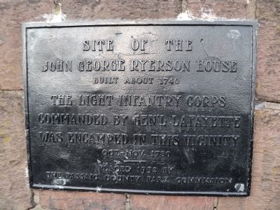
Site of John George Ryerson House
John George Ryerson House
Built about 1740
The Light Infantry Corps
commanded by Gen’l LaFayette
was encamped in this vicinity
Oct. – Nov. 1780
--------
Placed 1952 by
The Passaic County Park Commission
Erected 1952 by The Passaic County Park Commission.
Topics. This historical marker is listed in this topic list: War, US Revolutionary. A significant historical year for this entry is 1740.
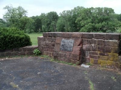
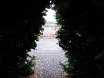
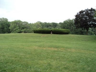
Location. 40° 56.77′ N, 74° 9.821′ W. Marker is in Hawthorne, New Jersey, in Passaic County. Marker can be reached from Goffle Road (County Route 659) north of Macfarlen Avenue, on the left when traveling south. Marker is located near the south end of Goffle Brook Park, surrounded by a hedge. Touch for map. Marker is in this post office area: Hawthorne NJ 07506, United States of America. Touch for directions.
Other nearby markers. At least 8 other markers are within 2 miles of this marker, measured as the crow flies. Hawthorne Korea – Vietnam Monument (approx. 0.7 miles away); Hawthorne World War I Monument (approx. 0.7 miles away); Hawthorne World War II Monument (approx. 0.7 miles away); The Botto House (approx. 1˝ miles away); American Labor Museum (approx. 1˝ miles away); In Memoriam - U.S.S. Maine, Destroyed in Havana Harbor (approx. 1.6 miles away); Fair Lawn Memorial Park (approx. 1.7 miles away); Holocaust and World War II Memorial (approx. 1.8 miles away). Touch for a list and map of all markers in Hawthorne.
Credits. This page was last revised on June 16, 2016. It was originally submitted on June 10, 2011, by Bill Coughlin of Woodland Park, New Jersey. This page has been viewed 843 times since then and 42 times this year. Photos: 1, 2, 3, 4. submitted on June 10, 2011, by Bill Coughlin of Woodland Park, New Jersey.


