Perth Amboy in Middlesex County, New Jersey — The American Northeast (Mid-Atlantic)
The Water Highway
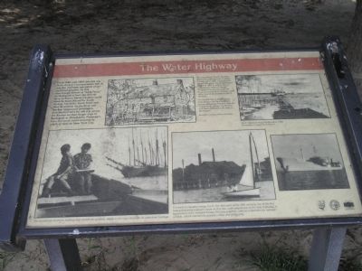
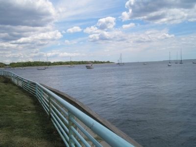
From 1683 until 1859, this site was Perth Amboy’s transportation hub. It was the maritime equivalent of our cloverleaf junction. At this interchange – known as “Long Ferry,” to distinguish it from the shorter ferry to Staten Island, travelers could leave by boats bound for South Amboy, Navesink, South River and New Brunswick via the river and the bay. Stagecoach passengers disembarked here for the trip across the Raritan on their longer trips to Burlington or Philadelphia. Passengers from the south could continue by coach or boat to New York City.
[ Sidebar: ]
Next to a sketch of a tavern, Illustration courtesy William Pavlovsky:
The Long Ferry Tavern, the first hotel and watering hole in Perth Amboy, circa 1684, stood here for almost 200 years. It was destroyed by fire in 1867 at which time it was named “Peace & Plenty.” Because of its location near the ferry, it housed Perth Amboy’s post office, one of the earliest in North America.
On his first trip to Philadelphia from Boston via New York, the young Benjamin Franklin took the “Long Ferry” across the Raritan and then walked the 60 miles to Burlington.
Erected by State of New Jersey.
Topics. This historical marker is listed in this topic list: Waterways & Vessels . A significant historical year for this entry is 1683.
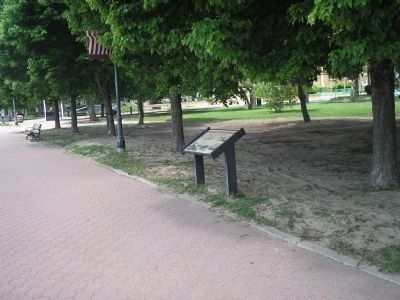
Location. 40° 29.967′ N, 74° 16.175′ W. Marker is in Perth Amboy, New Jersey, in Middlesex County. Marker is on Sadowsky Pkwy, on the right when traveling east. Touch for map. Marker is in this post office area: Perth Amboy NJ 08861, United States of America. Touch for directions.
Other nearby markers. At least 8 other markers are within walking distance of this marker. The Bluff: Witness to History (within shouting distance of this marker); Count Casimir Pulaski (within shouting distance of this marker); Nicolaus Copernicus (within shouting distance of this marker); Veterans' War Memorial (within shouting distance of this marker); Perth Amboy, NJ (about 300 feet away, measured in a direct line); Purple Heart Memorial (about 300 feet away); Inca Garcilaso de la Vega (about 300 feet away); Juan Pablo Duarte (about 300 feet away). Touch for a list and map of all markers in Perth Amboy.
More about this marker. Several photographs appear on the marker. The upper right depicts “Perth Amboy’s busy harbor, circa 1950.” A photo of two young boys appears at the lower left of the marker, and has a caption of “The Gunderson brothers, holding ship models as symbols, testify to the city’s focus on its waterfront heritage.” Next to this is a photo of two people in a sailboat with the caption, “It is hard to visualize today, but in the latter part
of the 19th century, one of the first heavy industrial polluters stood on this site, with easy access to the river highway. A by-product of the Ashland Emery Mill was graphite, used as a lubricant for railroad wheels, which colored the ground a deep and gritty grey.”
Also see . . . New Jersey Coastal Heritage Trail Route. National Park Service website. (Submitted on June 16, 2011, by Bill Coughlin of Woodland Park, New Jersey.)
Credits. This page was last revised on June 16, 2016. It was originally submitted on June 15, 2011, by Bill Coughlin of Woodland Park, New Jersey. This page has been viewed 575 times since then and 32 times this year. Photos: 1, 2, 3. submitted on June 15, 2011, by Bill Coughlin of Woodland Park, New Jersey.


