Dubuque in Dubuque County, Iowa — The American Midwest (Upper Plains)
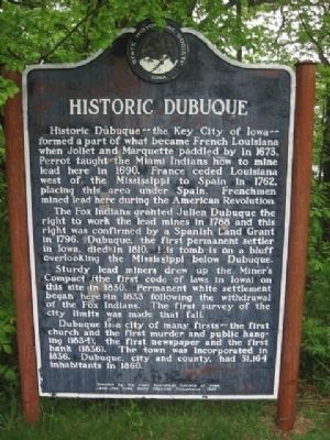
Historic Dubuque
Historic Dubuque - the Key City of Iowa - formed a part of what became French Louisiana when Joliet and Marquette paddled by in 1673. Perrot taught the Miami Indians how to mine lead here in 1690. France ceded Louisiana west of the Mississippi to Spain in 1762, placing this area under Spain. Frenchmen mined lead here during the American Revolution.
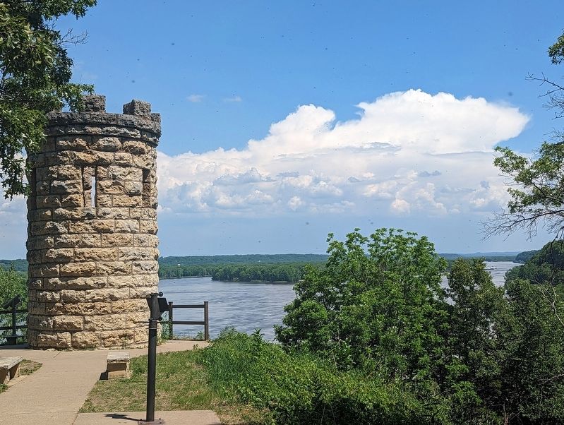
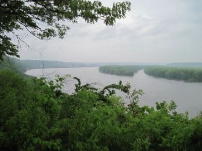
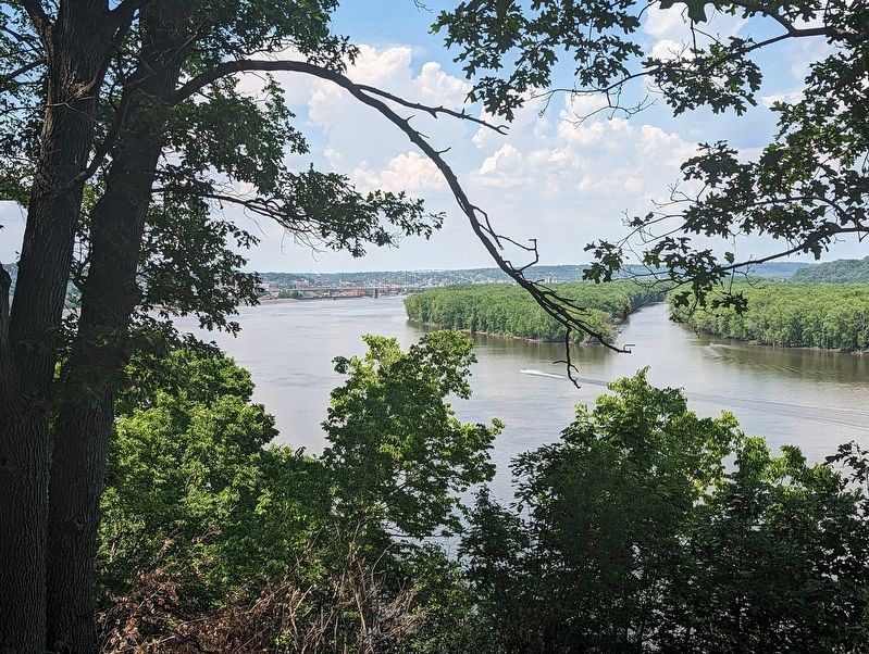
The Fox Indians granted Julien Dubuque the right to work the lead mines in 1788 and this right was confirmed by a Spanish Land Grant in 1796. Dubuque, the first permanent settler in Iowa, died in 1810. His tomb is on a bluff overlooking the Mississippi below Dubuque.
Sturdy lead miners drew up the Miner’s Compact (the first code of laws in Iowa) on this site in 1830. Permanent white settlement began here in 1833 following the withdrawal of the Fox Indians. The first survey of the city limits was made that fall.
Dubuque is a city of many firsts -- the first church and the first murder and public hanging (1834), the first newspaper and the first bank (1836). The town was incorporated in 1836. Dubuque, city and county, had 31,164 inhabitants in 1860.
Erected 1967 by State Historical Society of Iowa and the Iowa State Highway Commission. (Marker Number 11.)
Topics and series. This historical marker is listed in this topic list: Settlements & Settlers. In addition, it is included in the Iowa - State Historical Society of Iowa series list.
Location. 42° 28.127′ N, 90° 38.887′ W. Marker is in Dubuque, Iowa, in Dubuque County. Marker can be reached from Monument Drive, 0.2 miles east of Mines of Spain Road. The marker is located in the parking lot of the Mines of Spain Recreation Area. Touch for map. Marker is in this post office area: Dubuque IA 52003, United States of America. Touch for directions.
Other nearby markers. At least 8 other markers are within 2 miles of this marker, measured as the crow flies. The Native Americans at the Mines of Spain (within shouting distance of this marker); Julien Dubuque and the Mines of Spain (about 400 feet away, measured in a direct line); Julien Dubuque (about 500 feet away); The Canoe (about 800 feet away); Dubuque's Mines of Spain / New Melleray Abbey (approx. 0.6 miles away); Dubuque's Mines of Spain / Historic Dubuque (approx. 1.1 miles away); East Dubuque Veterans' Memorial (approx. 1.7 miles away in Illinois); Eleazor and Diadamia Frentress (approx. 1.7 miles away in Illinois). Touch for a list and map of all markers in Dubuque.
Also see . . . Mines of Spain. (Submitted on June 21, 2011, by Bernard Fisher of Richmond, Virginia.)
Credits. This page was last revised on June 10, 2023. It was originally submitted on June 21, 2011, by Bob (peach) Weber of Dewey, Arizona. This page has been viewed 1,197 times since then and 57 times this year. Last updated on May 28, 2023, by Jeff Leichsenring of Garland, Texas. Photos: 1. submitted on June 21, 2011, by Bob (peach) Weber of Dewey, Arizona. 2. submitted on June 9, 2023, by Gordon Govier of Fitchburg, Wisconsin. 3, 4, 5. submitted on June 23, 2011, by Bob (peach) Weber of Dewey, Arizona. 6. submitted on June 9, 2023, by Gordon Govier of Fitchburg, Wisconsin. • J. Makali Bruton was the editor who published this page.
Editor’s want-list for this marker. Wide shot of marker and its surroundings. More precise GPS coordinates. • Can you help?
