Patmos in Kalimnos, The Aegean, Greece — Ελλάδα (Southeastern Europe, Balkan Peninsula)
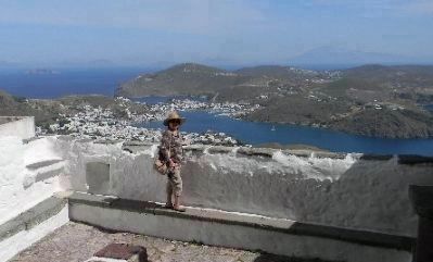
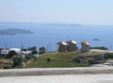
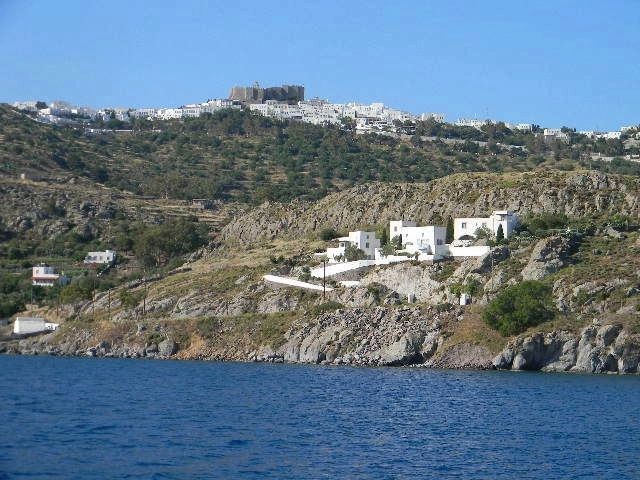
Historic Centre (Chorá)
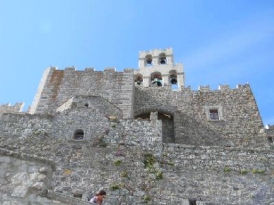
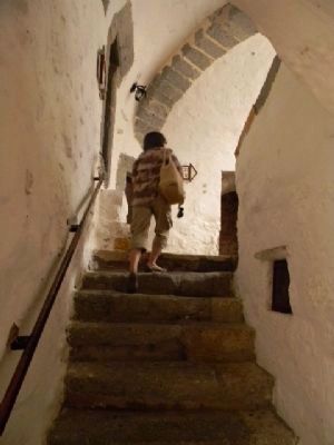
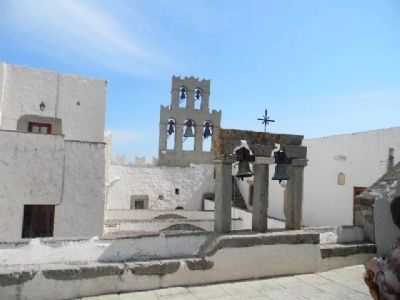
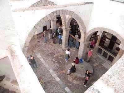
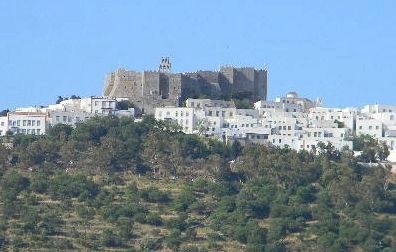
Monastery of Saint John the Theologian
— World Heritage Site —
Inscription.
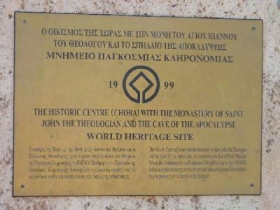
[Marker text printed in Greek and English script:]
The Historic Centre (Chorá) with the Monastery of Saint John the Theologian and the Cave of the Apocalypse
World Heritage Site
The Historic Centre (Chorá) with the Monastery of Saint John the Theologian and the Cave of the Apocalypse are inscribed in the List of World Heritage Sites of the Convention for the Protection of World Heritage of the UNESCO. Inclusion in the list recognizes the exceptional value of a cultural site so that it may be protected for the benefit of all Humanity.
Erected 1999 by United Nations Educational, Scientific and Cultural Organization.
Topics and series. This historical marker is listed in these topic lists: Arts, Letters, Music • Churches & Religion • Notable Places. In addition, it is included in the UNESCO World Heritage Sites series list. A significant historical year for this entry is 1999.
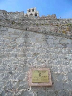
Location. 37° 18.568′ N, 26° 32.885′ E. Marker is in Patmos, The Aegean, in Kalimnos. Marker can be reached from Skala-Chorá Road. Duplicate markers appear at the two sacred buildings forming the Chorá World Heritage Site, both of which are off the Skala-Chorá Road, southeast of Skala Village - one on the wall at the west entrance to the Cave of the Apocalypse chapel [37.314419, 26.544667] and one here, on the north wall of the Monastery of Saint John the Theologian/the Devine. Touch for map. Marker is in this post office area: Patmos, The Aegean 855 00, Greece. Touch for directions.
Other nearby markers. At least 2 other markers are within 2 kilometers of this marker, measured as the crow flies. A different marker also named Historic Centre (Chorá) (approx. 0.6 kilometers away); Liberation of Patmos (approx. 1.6 kilometers away).
Also see . . . Monastery of Saint John the Theologian. ... In 1088, Byzantine Emperor Alexios I Komnenos gave the island of Patmos to the soldier-priest John Christodoulos. The greater part of the monastery was completed by Christodoulos three years later. He heavily fortified the exterior because of the threats of piracy and Seljuk Turks. ... (Submitted on June 6, 2011, by Richard E. Miller of Oxon Hill, Maryland.)
Additional keywords. Christianity; Greek Orthodox Church; John or Osios Christodoulos; Book of Revelation; St. John the Devine; Cave of the Apocalypse; Chorá (or Hora, capital of Patmos); Greece.
Credits. This page was last revised on March 22, 2022. It was originally submitted on June 5, 2011, by Richard E. Miller of Oxon Hill, Maryland. This page has been viewed 766 times since then and 6 times this year. Last updated on June 21, 2011, by Richard E. Miller of Oxon Hill, Maryland. Photos: 1. submitted on June 5, 2011, by Richard E. Miller of Oxon Hill, Maryland. 2, 3, 4, 5, 6, 7, 8, 9, 10. submitted on June 6, 2011, by Richard E. Miller of Oxon Hill, Maryland. 11. submitted on June 7, 2011, by Richard E. Miller of Oxon Hill, Maryland. • Bill Pfingsten was the editor who published this page.
