Hiawatha in Minneapolis in Hennepin County, Minnesota — The American Midwest (Upper Plains)
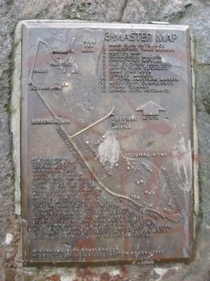
3 – Master Map
1 Main Glen Entrance
2 Abandoned Falls Marker
3 Master Map
4 Ecological Marker
5 Spring-fed Wetland
6 Old Godfrey Mill Site
7 Lower Glen Geology
8 Camp Fire Area
9 Springs Marker
10 St. Peter Limestone Marker
11 Mississippi Confluence
12 Stone Quarry
13 Lower Glen Entrance
[map]
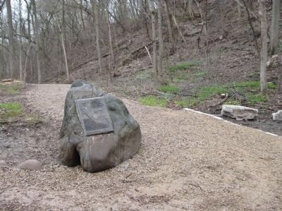
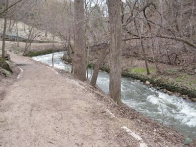
At this point you are near the original mouth of Minnehaha Creek where it formerly emptied into the Mississippi River at a level equal to the top of the falls. Close observation will reveal many of the physical features of geological history. One can observe the hard platville limestone formations at the upper level of the glen, underlain by softer sandstone which is eroded by the waters, eventually undercutting the limestone which breaks off, falls down and causes the waterfall to slowly move upstream. You will notice many large boulders of granite and basalt throughout the glen which were carried to our area by glaciation.
Minnehaha Glen Development
Minneapolis Park and Recreation Board – 1969
Erected 1969 by the Minnehaha Glen Development, Minneapolis Park and Recreation Board. (Marker Number 3.)
Topics. This historical marker is listed in this topic list: Natural Features. A significant historical year for this entry is 1969.
Location. 44° 54.885′ N, 93° 12.522′ W. Marker is in Minneapolis, Minnesota, in Hennepin County. It is in Hiawatha. Marker can be reached from South Minnehaha Park Drive near Godfrey Road. Marker is in Minnehaha Park. Touch for map. Marker is at or near this postal address: 4801 South Minnehaha Drive, Minneapolis MN 55417, United States of America. Touch for directions.
Other nearby markers. At least 8 other markers are within walking distance of this marker. 1–Main Entrance Minnehaha Lower Glen (within shouting distance of this marker); Geology of Minnesota (about 300 feet away, measured in a direct line); Gunnar Wennerberg (about 300 feet away); John Harrington Stevens House (about 400 feet away); Col. John H. Stevens (about 500 feet away); Stevens House (about 500 feet away); President Lyndon B. Johnson (about 700 feet away); Minnehaha Depot (about 700 feet away). Touch for a list and map of all markers in Minneapolis.
More about this marker. This marker shows the locations of the other markers in the park, however, most of these markers are missing.
Credits. This page was last revised on February 12, 2023. It was originally submitted on June 22, 2011, by Keith L of Wisconsin Rapids, Wisconsin. This page has been viewed 809 times since then and 20 times this year. Photos: 1, 2, 3, 4. submitted on June 22, 2011, by Keith L of Wisconsin Rapids, Wisconsin.


