Near Washington in Nevada County, California — The American West (Pacific Coastal)
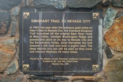
Emigrant Trail to Nevada City
Erected 1991 by Nevada County Historical Landmarks Commission.
Topics. This historical marker is listed in this topic list: Roads & Vehicles. A significant historical year for this entry is 1850.
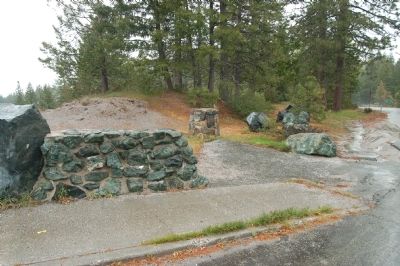
Location. 39° 19.055′ N, 120° 48.861′ W. Marker is near Washington, California, in Nevada County. Marker is on State Highway 20, 0.2 miles west of Washington Road. The marker is located at the Washington Ridge Overlook. Touch for map. Marker is in this post office area: Washington CA 95986, United States of America. Touch for directions.
Other nearby markers. At least 8 other markers are within 3 miles of this marker, measured as the crow flies. The History of This Area (about 400 feet away, measured in a direct line); Nevada City Road - Opposite Washington Diggings (approx. 1.1 miles away); Nevada City Road - No Water on Washington Ridge (approx. 2.8 miles away); Washington (approx. 2.9 miles away); Washington Elementary School (approx. 2.9 miles away); Brimskill Building (approx. 3 miles away); a different marker also named Washington (approx. 3 miles away); Kohler Building (approx. 3 miles away). Touch for a list and map of all markers in Washington.
Credits. This page was last revised on June 16, 2016. It was originally submitted on June 23, 2011, by Barry Swackhamer of Brentwood, California. This page has been viewed 854 times since then and 28 times this year. Photos: 1, 2. submitted on June 23, 2011, by Barry Swackhamer of Brentwood, California. • Syd Whittle was the editor who published this page.

