Hockessin in New Castle County, Delaware — The American Northeast (Mid-Atlantic)
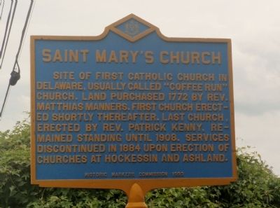
St. Mary's Church
Erected 1933 by Historical Markers Commission. (Marker Number NC-32.)
Topics and series. This historical marker is listed in these topic lists: Cemeteries & Burial Sites • Churches & Religion. In addition, it is included in the Delaware Public Archives series list. A significant historical year for this entry is 1772.
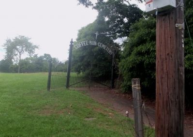
Location. 39° 46.132′ N, 75° 39.561′ W. Marker is in Hockessin, Delaware, in New Castle County. Marker is on Lancaster Pike (Delaware Route 48) 0.3 miles south of Loveville Rd, on the right when traveling south. The marker is sits at the entrance to the Coffee Run Cemetery. Touch for map. Marker is in this post office area: Hockessin DE 19707, United States of America. Touch for directions.
Other nearby markers. At least 8 other markers are within 2 miles of this marker, measured as the crow flies. Wooddale Bridge (approx. 1.2 miles away); Former Site of the Delcastle Prison Farm (approx. 1˝ miles away); Site of General Weedon's Foray at Spring Grove (approx. 1.7 miles away); Brandywine Springs (approx. 1.8 miles away); Camp DuPont (approx. 1.8 miles away); Fells Mill Historic District (approx. 1.9 miles away); Delcastle (approx. 2 miles away); Ashland Bridge (approx. 2 miles away). Touch for a list and map of all markers in Hockessin.
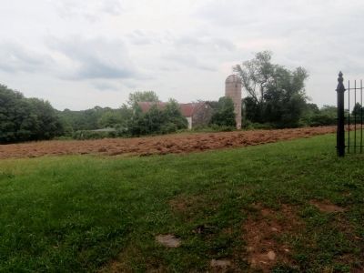
Regarding St. Mary's Church. The church described is no longer standing. There is only the plot of land where the church stood.
Also see . . . Coffee Run (St. Mary's) Church. (Submitted on April 10, 2013, by Stephen J Duncan of Wilmington, Delaware.)
Credits. This page was last revised on June 16, 2016. It was originally submitted on June 23, 2011, by Stephen J Duncan of Wilmington, Delaware. This page has been viewed 895 times since then and 35 times this year. Photos: 1, 2, 3. submitted on June 23, 2011, by Stephen J Duncan of Wilmington, Delaware. • Bill Pfingsten was the editor who published this page.


