West Columbia in Lexington County, South Carolina — The American South (South Atlantic)
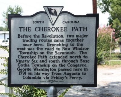
The Cherokee Path
Erected 1970 by Erected by Lexington County Historical Society. (Marker Number 32-7.)
Topics and series. This historical marker is listed in these topic lists: Colonial Era • Roads & Vehicles. In addition, it is included in the Former U.S. Presidents: #01 George Washington, and the George Washington Slept Here series lists. A significant historical year for this entry is 1791.
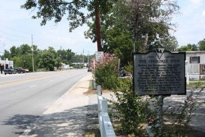
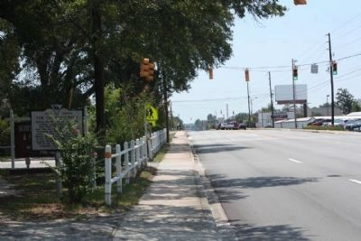
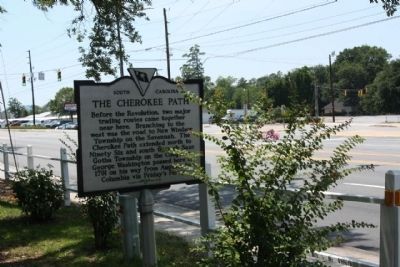
Location. 33° 59.061′ N, 81° 5.538′ W. Marker is in West Columbia, South Carolina, in Lexington County. Marker is on Augusta Road (U.S. 1), on the right when traveling north. Located between Alexandria Street and Manning Drive, opposite Hook Avenue intersection. Touch for map. Marker is in this post office area: West Columbia SC 29169, United States of America. Touch for directions.
Other nearby markers. At least 8 other markers are within 2 miles of this marker, measured as the crow flies. Saluda Factory Cemetery (approx. 1.7 miles away); The Post at the Congarees (approx. 1.8 miles away); Emily Geiger (approx. 1.8 miles away); Shelling of Columbia (approx. 1.9 miles away); Saluda Factory Ruins (approx. 1.9 miles away); A Bridge to the Past (approx. 1.9 miles away); Springdale (approx. 2 miles away); Mt. Hebron United Methodist Church / Temperance Hall (approx. 2.1 miles away). Touch for a list and map of all markers in West Columbia.
Additional commentary.
1. The Cherokee Path
(also Keowee path) was the primary route from Charleston to Columbia, South Carolina in Colonial America, connecting all of the Cherokee territories. The path was mapped in 1730 by George Hunter, the Surveyor-General of the Province of South Carolina. It ran 130 miles (210 km) from Charlestown to the colonial settlement of Ninety Six, then to Fort Prince George and the Cherokee village of Keowee, the principal town of the Cherokee Lower settlements (in present day Oconee, Greenville, Pickens and Anderson counties).
From Keowee, the path branched out into the Unaka Mountains, usually following streams and valleys, to Clayton, Georgia and up to Franklin and Murphy in North Carolina (the Middle settlements) and
across to the Cherokee towns in Tennessee (the Overhill settlements) and Fort Loudoun which had been constructed by South Carolina troops in 1756.
In the 17th century it was used by English and French fur traders, and later used as a military road during the American Revolution. South Carolina Highway 11 (the Cherokee Foothills Scenic Highway) traces some of the original path.(From Wikipedia)
— Submitted June 28, 2011, by Mike Stroud of Bluffton, South Carolina.
Credits. This page was last revised on June 16, 2016. It was originally submitted on June 26, 2011, by Mike Stroud of Bluffton, South Carolina. This page has been viewed 1,614 times since then and 42 times this year. Photos: 1, 2, 3, 4. submitted on June 27, 2011, by Mike Stroud of Bluffton, South Carolina.


