Blowing Rock in Watauga County, North Carolina — The American South (South Atlantic)
Daniel Boone Trail Marker
#26
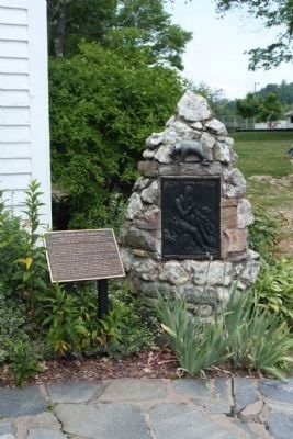
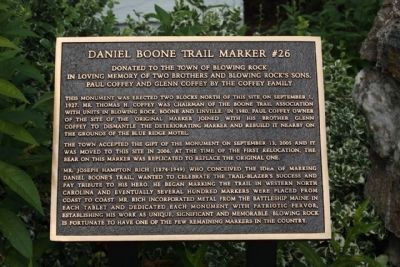
This monument was erected two blocks north of this site on September 1, 1927. Mr. Thomas H. Coffey was chairman of the Boone Trail Association with units in Blowing Rock, Boone and Linville. In 1980, Paul Coffey owner of the site of the original marker joined with his brother Glenn Coffey to dismantle the deteriorating marker and rebuild it nearby on the grounds of the Blue Ridge Motel.
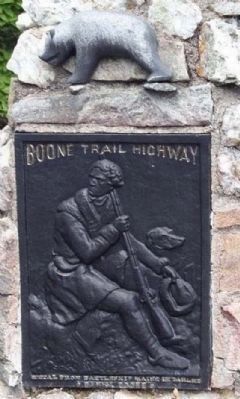
The town accepted the gift of the monument on September 13,2005 and it was moved to this site in 2006. At the time of the first relocation, the bear on this marker was replicated to replace the original one.
Mr. Joseph Hampton Rich (1874-1949) who concieved the idea of marking Daniel Boone's trail, wanted to celebrate the trail-blazer's success and pay tribute to his hero. He began marking the trail in western North Carolina and eventually several hundred markers were placed from coast to coast, Mr. Rich incorporated metal from the Battleship Maine in each tablet and dedicated each monument with patriotic fervor, establishing his work as unique, significant and memorable. Blowing Rock is fortunate to have one of the few remaining markers in the country.
Topics. This historical marker is listed in this topic list: Exploration. A significant historical month for this entry is September 1814.
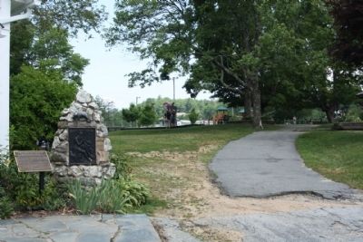
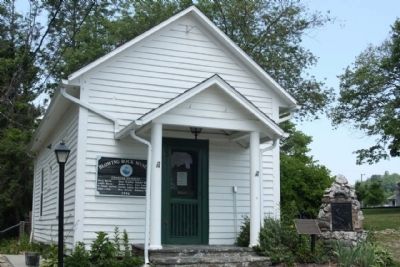
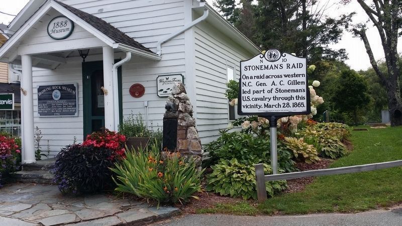
Location. 36° 7.968′ N, 81° 40.706′ W. Marker is in Blowing Rock, North Carolina, in Watauga County. Marker is on Main Street (Business U.S. 321) near Sunset Drive, on the right when traveling south. Located next to the Blowing Rock Museum at the City Park. Touch for map. Marker is in this post office area: Blowing Rock NC 28605, United States of America. Touch for directions.
Other nearby markers. At least 8 other markers are within walking distance of this marker. Stoneman's Raid (here, next to this marker); Watauga Hotel Cottage (here, next to this marker); Martin House (within shouting distance of this marker); Storie's Soda Shop (within shouting distance of this marker); Blowing Rock Memorial Park (within shouting distance of this marker); In Memory Of Those Who Made The Supreme Sacrifice (within shouting distance of this marker); Blowing Rock Bank (within shouting distance of this marker); Appalachian Ski Mountain (within shouting distance of this marker). Touch for a list and map of all markers in Blowing Rock.
Related markers. Click here for a list of markers that are related to this marker. markers along the Trail
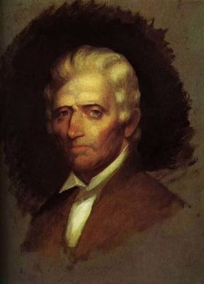
Also see . . . Daniel Boone, Wikipedia entry. an American pioneer, explorer, and frontiersman whose frontier exploits made him one of the first folk heroes of the United States. Boone is most famous for his exploration and settlement of what is now the Commonwealth of Kentucky, which was then beyond the western borders of the settled part of the Thirteen Colonies. This region legally belonged to both the Commonwealth of Virginia and to the American Indian Tribes at the time. Despite some resistance from American Indian tribes such as the Shawnee, in 1775 Boone blazed his Wilderness Road through the Cumberland Gap in the Appalachian Mountains from North Carolina and Tennessee into Kentucky. There he founded the village of Boonesborough, Kentucky, one of the first English-speaking settlements west of the Appalachians. Before the end of the 18th century, more than 200,000 European people migrated to Kentucky/Virginia by following the route marked by Boone. (Submitted on June 28, 2011, by Mike Stroud of Bluffton, South Carolina.)
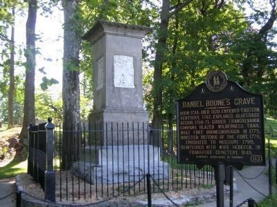
Photographed By Christopher Light, July 30, 2008
8. Daniel Boone's Grave Marker
and Memorial at Frankfort Kentucky
Click for more information.
Click for more information.
Credits. This page was last revised on September 9, 2016. It was originally submitted on June 28, 2011, by Mike Stroud of Bluffton, South Carolina. This page has been viewed 1,917 times since then and 36 times this year. Photos: 1, 2, 3, 4, 5. submitted on June 28, 2011, by Mike Stroud of Bluffton, South Carolina. 6. submitted on September 7, 2016, by Michael C. Wilcox of Winston-Salem, North Carolina. 7. submitted on June 28, 2011, by Mike Stroud of Bluffton, South Carolina. 8. submitted on July 30, 2008, by Christopher Light of Valparaiso, Indiana.
