Downieville in Sierra County, California — The American West (Pacific Coastal)
Downieville
In 1852, the town had a population of about 3,000. The placer mines in the area were fabulously rich, one site reportedly yielding $300 to the pan for a brief time. The Tin Cap Diggins, which was located on the right bank above the second bridge was said to have been so rich that the owners worked each day until they had a tin drinking cup full of gold.
Downieville had its share of tragedies. The town suffered disastrous fires in 1852, 1858 and 1864, and a raging flood in 1938. Many of the buildings, however still remain.
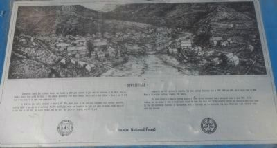
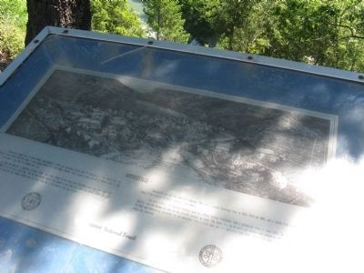
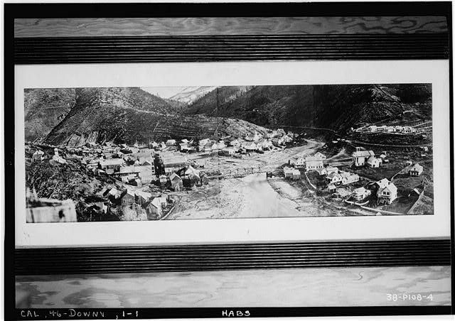
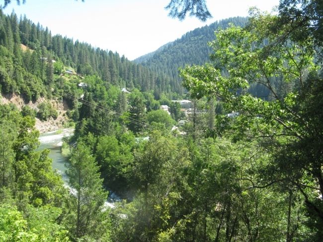
The above picture is a detailed drawing made by a Forest Service illustrator from a photograph taken in about 1880. In the drawing, note the absence of trees on the hillsides around the town. The forest was cut by early day settlers and miners to meet their needs for fuel and construction materials. In the meantime, with a little help and fire protection from man, Nature has since reforested these early day clearcuts.
Erected by United States Forest Service.
Topics. This historical marker is listed in this topic list: Settlements & Settlers. A significant historical year for this entry is 1849.
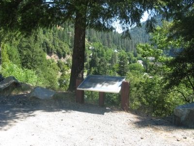
Location. 39° 33.475′ N, 120° 49.977′ W. Marker is in Downieville, California, in Sierra County. Marker is on State Highway 49, on the right when traveling north. Marker is located at the turnout at Cannon Point which is located at the western entrance to the town. Touch for map. Marker is in this post office area: Downieville CA 95936, United States of America. Touch for directions.
Other nearby markers. At least 8 other markers are within walking distance of this marker. Cannon Point - California Volunteers Memorial (within shouting distance of this marker); Sierra County, California (approx. 0.2 miles away); Mountain Howitzers (approx. 0.2 miles away); Sierra County Sheriff’s Gallows (approx. 0.2 miles away); Henness Pass Road - Downieville (approx. ¼ mile away); Hirshfeldter Building (approx. 0.3 miles away); Downieville Veterans Memorial (approx. 0.3 miles away); Masonic Building (approx. 0.3 miles away). Touch for a list and map of all markers in Downieville.
Additional keywords. Gold Rush
Credits. This page was last revised on June 16, 2016. It was originally submitted on June 28, 2011, by Syd Whittle of Mesa, Arizona. This page has been viewed 530 times since then and 13 times this year. Photos: 1. submitted on June 28, 2011, by Syd Whittle of Mesa, Arizona. 2. submitted on June 14, 2013, by Barry Swackhamer of Brentwood, California. 3, 4. submitted on June 28, 2011, by Syd Whittle of Mesa, Arizona. 5, 6. submitted on June 29, 2011, by Syd Whittle of Mesa, Arizona.
