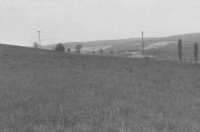
Frostburg in Allegany County, Maryland — The American Northeast (Mid-Atlantic)
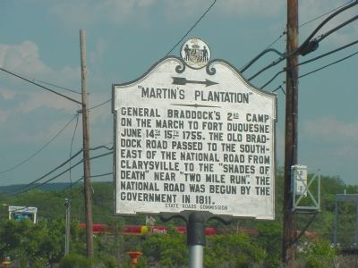
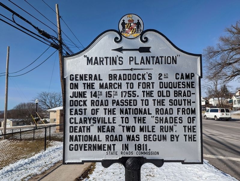
Martinís Plantation
Erected by State Roads Commission.
Topics and series. This historical marker is listed in these topic lists: Roads & Vehicles • War, French and Indian. In addition, it is included in the Braddockís Road and Maj. Gen. Edward Braddock series list.
Location. 39° 39.07′ N, 78° 54.806′ W. Marker is in Frostburg, Maryland, in Allegany County. Marker is at the intersection of National Highway (U.S. 40) and Maryland Route 36, on the right when traveling east on National Highway. Touch for map. Marker is in this post office area: Frostburg MD 21532, United States of America. Touch for directions.
Other nearby markers. At least 8 other markers are within walking distance of this marker. World War I Memorial (within shouting distance of this marker); Veterans Memorial (within shouting distance of this marker); a different marker also named Veterans Memorial (within shouting distance of this marker); The National Road (approx. 0.7 miles away); a different marker also named Veterans Memorial (approx. 0.7 miles away); The Cumberland and Pennsylvania Railroad (approx. 0.7 miles away); Frostburg (approx. 0.7 miles away); Cumberland and Pennsylvania Railroad Depot (approx. 0.7 miles away). Touch for a list and map of all markers in Frostburg.
Additional commentary.
1. Encampments on this site
In researching George Washington's route on his first official mission in 1753, I discovered in the GW Papers and Christopher Gist's Journal some
eleven encampments he made on this same site on George's Creek. I am applying to the State to install a highway marker on the road connecting routes 40 and 68.
Also I find a dearth of information on "Martin's Plantation."
I hope to secure speaking engagements on Washington's mission of 1753 at local historical and educational institutions in the Frostburg-Cumberland area. Note To Editor only visible by Contributor and editor
— Submitted December 22, 2010, by Carl Frederick Robertson of Evans City, Pennsylvania.
Credits. This page was last revised on December 21, 2022. It was originally submitted on July 16, 2006, by J. J. Prats of Powell, Ohio. This page has been viewed 4,624 times since then and 65 times this year. Last updated on July 19, 2021, by Bradley Owen of Morgantown, West Virginia. Photos: 1. submitted on July 16, 2006, by J. J. Prats of Powell, Ohio. 2. submitted on December 21, 2022, by Mike Wintermantel of Pittsburgh, Pennsylvania. 3. submitted on February 29, 2008, by Christopher Busta-Peck of Shaker Heights, Ohio. 4. submitted on July 16, 2006, by J. J. Prats of Powell, Ohio. 5. submitted on February 29, 2008, by Christopher Busta-Peck of Shaker Heights, Ohio. • Bill Pfingsten was the editor who published this page.
