Near Marquette in Clayton County, Iowa — The American Midwest (Upper Plains)
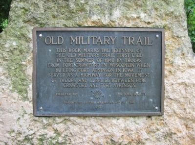
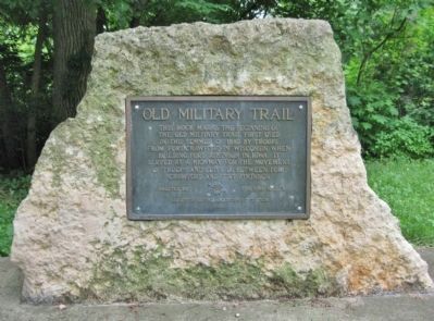
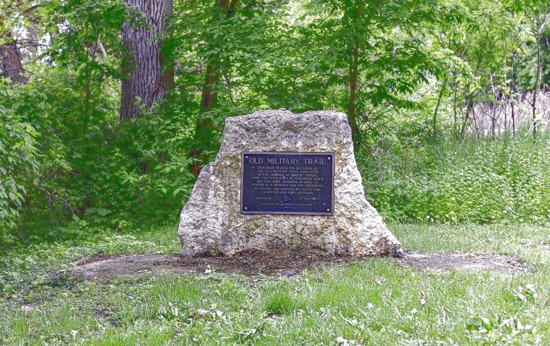
Old Military Trail
Erected 1927 by the Daughters of the American Revolution.
Topics and series. This historical marker is listed in this topic list: Roads & Vehicles. In addition, it is included in the Daughters of the American Revolution series list. A significant historical year for this entry is 1840.
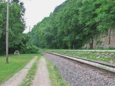
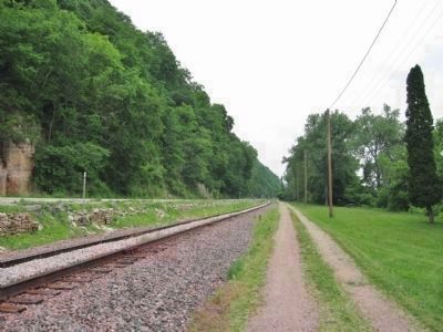
Location. 43° 3.964′ N, 91° 10.806′ W. Marker is near Marquette, Iowa, in Clayton County. Marker can be reached from Great River Road (State Highway 76) 2 miles north of U.S. 18, on the right when traveling north. After turning east at the railroad crossing, the marker can then be accessed by returning south on a half-mile long trail; the trail ends at the marker. Touch for map. Marker is in this post office area: Marquette IA 52158, United States of America. Touch for directions.
Other nearby markers. At least 8 other markers are within 2 miles of this marker, measured as the crow flies. War of 1812 (approx. 1.2 miles away in Wisconsin); Villa Louis (approx. 1.3 miles away in Wisconsin); Fort Crawford (approx. 1.4 miles away in Wisconsin); Smoke stacks and paddle wheels (approx. 1.4 miles away in Wisconsin); L'ancien Cimetiere Francais (approx. 1½ miles away in Wisconsin); Prairie du Chien (approx. 1.9 miles away in Wisconsin); Veterans Memorial (approx. 1.9 miles away in Wisconsin); Pere Marquette and Sieur Jolliet (approx. 1.9 miles away in Wisconsin).
Regarding Old Military Trail. The soldiers, in going to the new fort, followed up the Prairie du Chien channel of the Mississippi by boat to where it meets the main channel a mile above Prairie du Chien, then came directly across the Mississippi to the Iowa shore a little above the present Scrogum home, where a ravine made it possible to make a road up to the prairie lands above the river. From the top of the ravine the road came out through the old Hatch farm, now owned by the State bank, and followed the Pleasant ridge to Monona then on through Postville, Ossian, Calmar to Fort Atkinson.
A warehouse was built by the soldiers on the Iowa bank of the Mississippi at the foot of the ravine, and steamers unloaded supplies there to be teamed up the hill and over the prairie to Fort Atkinson.
The road was used by the military forces until 1848, when Fort Atkinson was evacuated on the removal of the
Winnebago Indians to Minnesota. After that, the road up from McGregor's Landing came into use. The military
Road, though so long abandoned, is still a well defined trail.
—excerpt from The Postville Herald, November 11, 1926
Additional keywords. Military Road
Credits. This page was last revised on June 16, 2021. It was originally submitted on July 5, 2011, by Keith L of Wisconsin Rapids, Wisconsin. This page has been viewed 1,490 times since then and 37 times this year. Photos: 1, 2, 3. submitted on July 5, 2011, by Keith L of Wisconsin Rapids, Wisconsin. 4. submitted on June 13, 2021, by Paul R. Herold of Fort Atkinson, Iowa. 5. submitted on July 5, 2011, by Keith L of Wisconsin Rapids, Wisconsin.
