Brandy Station in Culpeper County, Virginia — The American South (Mid-Atlantic)
The 1863-64 Winter Encampment
The Army of the Potomac at Brandy Station
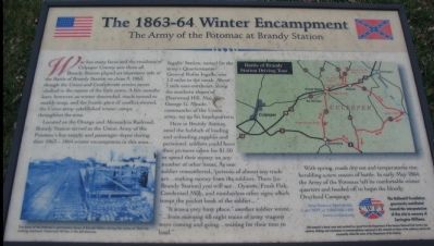
Located on the Orange and Alexandria Railroad, Brandy Station served as the Union Army of the Potomac's key supply and passenger depot during their 1863-1864 winter encampment in this area. Ingalls' Station, named for the army's Quartermaster General Rufus Ingalls, was 1.2 miles to the north. About 1 mile east-northeast, along the southern slopes of Fleetwood Hill, Maj. Gen. George G. Meade, commander of the Union army, set up his headquarters.
Here in Brandy Station, amid the hubbub of loading and unloading supplies and personnel, soldiers could have their pictures taken for $1.50 or spend their money on any number of other items. As one soldier remembered, "persons of almost any trade are...making money from the soldiers. There [in Brandy Station] you will see...Oysters, Fresh Fish, Condensed Milk, and numberless other signs which tempt the pocket book of the soldier...."
"It was a very busy place," another soldier wrote, "...from morning till night trains of army wagons were coming and going...waiting for their time to load."
With spring, roads dry out and temperatures rise, heralding a new season of battle. In early May 1864, the Army of the Potomac left its comfortable winter quarters and headed off to begin the bloody Overland Campaign.
Help Preserve Battlefields • call CWPT at 1-888-606-1400 • www.civilwar.org
The Hallowell Foundation generously contributed toward the interpretation of this site in memory of Carrington Williams.
This material is based upon work assisted by a grant from the Department of the Interior, National Park Service. Any opinion, findings and conclusions or recommendations expressed in this material are those of the author(s) and do not necessarily reflect the views of the Department of the Interior.
Erected by Civil War Preservation Trust.
Topics and series. This historical marker is listed in this topic list: War, US Civil. In addition, it is included in the Northern Virginia Civil War Graffiti Trail series list. A significant historical year for this entry is 1863.
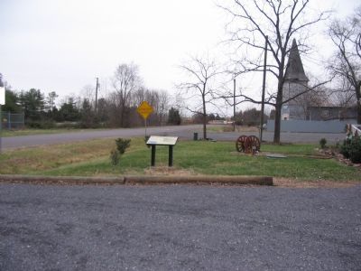
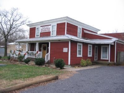
Location. 38° 30.167′ N, 77° 53.411′ W. Marker is in Brandy Station, Virginia, in Culpeper County. Marker is on Brandy Road. Located in front of the "Graffiti
Other nearby markers. At least 8 other markers are within walking distance of this marker. Graffiti House (within shouting distance of this marker); In Memory of Major John Pelham (about 300 feet away, measured in a direct line); Battle of Brandy Station (approx. half a mile away); a different marker also named Battle of Brandy Station (approx. half a mile away); a different marker also named Battle of Brandy Station (approx. ¾ mile away); a different marker also named Battle of Brandy Station (approx. ¾ mile away); a different marker also named Battle of Brandy Station (approx. ¾ mile away); a different marker also named Battle of Brandy Station (approx. ¾ mile away). Touch for a list and map of all markers in Brandy Station.
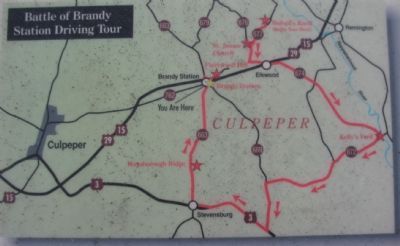
More about this marker. On the lower left of the marker is a photo of "The Army of the Potomac's commissary stores at Brandy Station during the winter of 1863-64. Looking eastward, Fleetwood Hill lies in the left distance." On the upper right is a map of the Battle of Brandy Station Driving Tour.
Regarding The 1863-64 Winter Encampment . This is one of several markers interpreting the Battle of Brandy Station and the winter encampments of 1863-64 in Culpeper County. See the Battle of Brandy Station Virtual Tour by Markers linked below for additional related markers.
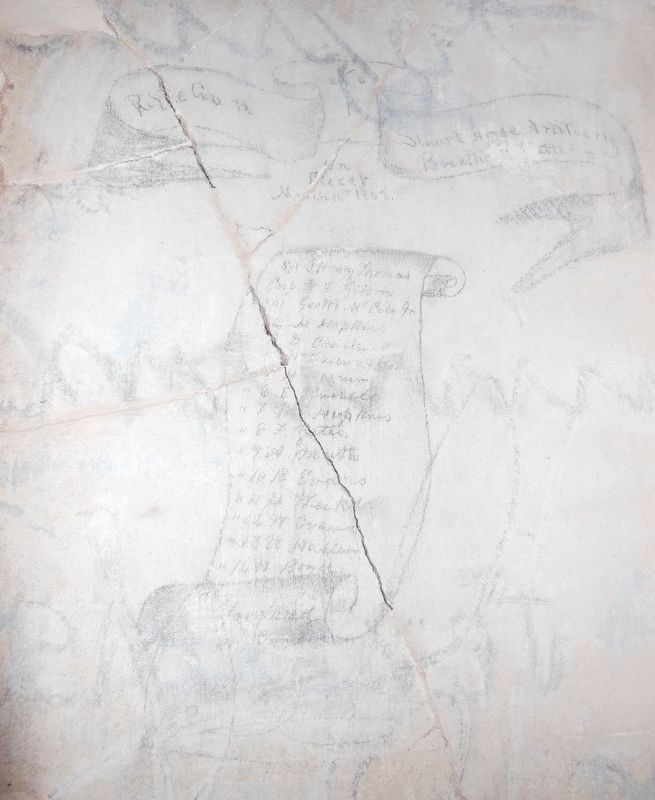
Also see . . . Maryland Scroll. Further details about the Maryland Scroll drawn on the wall inside the Graffiti House. (Submitted on March 1, 2021, by Bradley Owen of Morgantown, West Virginia.)
Credits. This page was last revised on March 2, 2021. It was originally submitted on December 30, 2007, by Craig Swain of Leesburg, Virginia. This page has been viewed 3,935 times since then and 128 times this year. Photos: 1. submitted on December 30, 2007, by Craig Swain of Leesburg, Virginia. 2. submitted on March 13, 2009, by Craig Swain of Leesburg, Virginia. 3, 4, 5, 6. submitted on December 30, 2007, by Craig Swain of Leesburg, Virginia. 7. submitted on March 1, 2021, by Bradley Owen of Morgantown, West Virginia. 8. submitted on March 2, 2021, by Bradley Owen of Morgantown, West Virginia.
