Near Brandy Station in Culpeper County, Virginia — The American South (Mid-Atlantic)
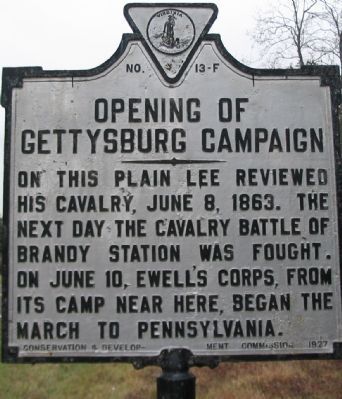
Opening of the Gettysburg Campaign
Erected 1927 by Conservation & Development Commission. (Marker Number F-13.)
Topics and series. This historical marker is listed in this topic list: War, US Civil. In addition, it is included in the Virginia Department of Historic Resources (DHR) series list. A significant historical date for this entry is June 8, 1863.
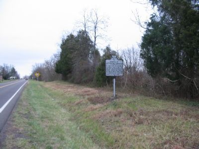
Location. 38° 29.782′ N, 77° 54.768′ W. Marker is near Brandy Station, Virginia, in Culpeper County. Marker is on Brandy Road (County Route 762), on the right when traveling east. Located just to the east of the Virginia State Police Office. Touch for map. Marker is in this post office area: Brandy Station VA 22714, United States of America. Touch for directions.
Other nearby markers. At least 8 other markers are within 2 miles of this marker, measured as the crow flies. In Memory of Major John Pelham (approx. 1.3 miles away); Graffiti House (approx. 1.3 miles away); The 1863-64 Winter Encampment (approx. 1.3 miles away); Betty Washington (approx. 1.7 miles away); Battle of Brandy Station (approx. 1.8 miles away); a different marker also named Battle of Brandy Station (approx. 1.8 miles away); a different marker also named Battle of Brandy Station (approx. 2 miles away); a different marker also named Battle of Brandy Station (approx. 2 miles away). Touch for a list and map of all markers in Brandy Station.
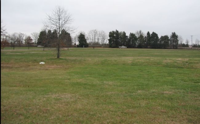
Regarding Opening of the Gettysburg Campaign. This is one of several markers interpreting the Battle of Brandy Station and the winter encampments of 1863-64 in Culpeper County. See the Battle of Brandy Station Virtual Tour by Markers linked below for additional related markers.
Also see . . .
1. Battle of Brandy Station. National Park Service summary of the battle of Brandy Station discusses the cavalry review. (Submitted on December 30, 2007, by Craig Swain of Leesburg, Virginia.)
2. Battle of Brandy Station Virtual Tour by Markers. A set markers that document the Battle of Brandy Station, June 9, 1863, and the Winter Encampment of 1863-64. Note the order of appearance is geographic and not chronologically aligned to the battle. (Submitted on January 1, 2008, by Craig Swain of Leesburg, Virginia.)

Photographed By Craig Swain, December 22, 2007
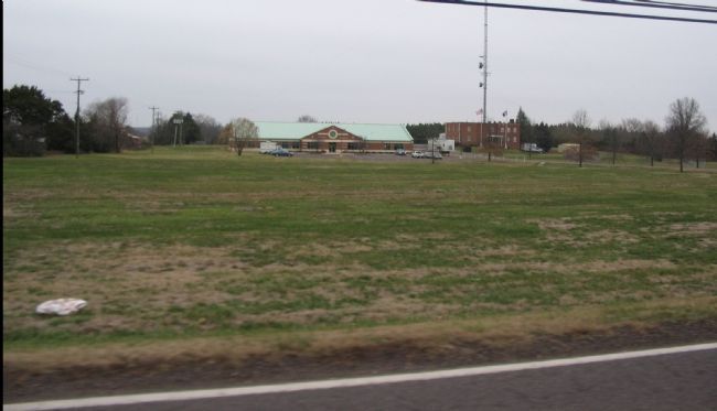
4. Review Field from the State Police Parking Lot
In the background, parallel to Brandy Road is the Orange and Alexandria Railroad. The proximity of this railroad to the field is no coincidence. The Confederate army was drawing upon this supply route in preparation for the march north.
Credits. This page was last revised on June 16, 2016. It was originally submitted on December 30, 2007, by Craig Swain of Leesburg, Virginia. This page has been viewed 1,931 times since then and 30 times this year. Photos: 1, 2, 3, 4. submitted on December 30, 2007, by Craig Swain of Leesburg, Virginia.


