Narrows Park in Allegany County, Maryland — The American Northeast (Mid-Atlantic)
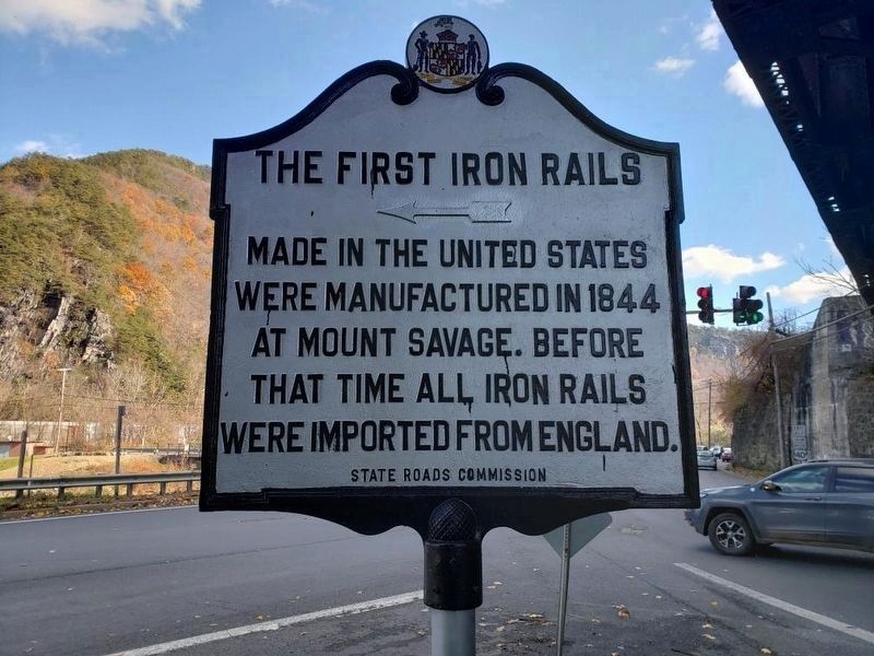
The First Iron Rails
Inscription.
The first iron rails made in the United States were manufactured in 1844 at Mount Savage. Before that time all iron rails were imported from England.
Erected by State Roads Commission.
Topics. This historical marker is listed in these topic lists: Industry & Commerce • Railroads & Streetcars. A significant historical year for this entry is 1844.
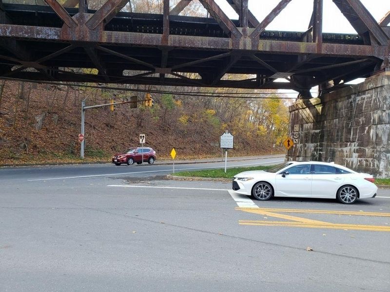
Location. 39° 40.168′ N, 78° 47.544′ W. Marker is in Narrows Park, Maryland, in Allegany County. Marker is on National Highway (U.S. 40) west of Mt. Savage Road NW (Maryland Route 36), on the right when traveling east. Touch for map. Marker is in this post office area: Cumberland MD 21502, United States of America. Touch for directions.
Other nearby markers. At least 5 other markers are within walking distance of this marker. “The Narrows” (approx. ¾ mile away); The Narrows (approx. ¾ mile away); Site of Bridge 1834 (approx. ¾ mile away); a different marker also named The Narrows (approx. 0.8 miles away); Veterans Marker (approx. 0.9 miles away).
Regarding The First Iron Rails. Mount Savage and its Foundry Row is 7.5 miles from this marker on Route 36.
Also see . . . First Iron Rail, C&P Railroad, Brick Yard, Union Mining Company. This is the official website for the town of Mt Savage. On it you will find much History and Photos of the town. (Submitted on May 21, 2007, by Dennis Lashley of Mount Savage, Maryland.)

1857
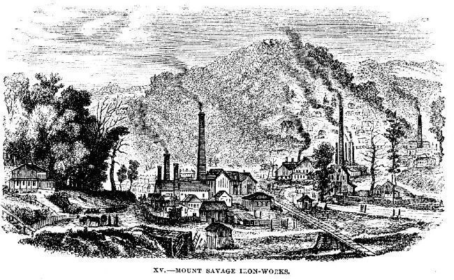
3. Mount Savage Iron Works in the 1850s
This image comes from Brantz Mayer's article "A June Jaunt" in Harper's Magazine (vol. 14, iss. 83, April 1857), pp. 592-612 (the illustration is on p. 603). The subtitle of the article is "With some wanderings in the footsteps of Washington, Braddock, and the early Pioneers." In the article, a newspaperman takes a train and canal journey from Washington up the Potomac to see the National Road, the C&O canal, and the B&O railroad. During the jaunt, he goes through Mount Savage and described the somewhat-thriving furnaces and rolling mills there (the works had seen some contraction in the late 1840s, bu was prospering again in the 1850s).
Click for more information.
Click for more information.
Credits. This page was last revised on July 6, 2020. It was originally submitted on July 20, 2006, by J. J. Prats of Powell, Ohio. This page has been viewed 3,078 times since then and 104 times this year. Photos: 1, 2. submitted on November 11, 2018, by Mike Wintermantel of Pittsburgh, Pennsylvania. 3. submitted on January 25, 2009, by Steven Walton of Bellefonte, Pennsylvania. 4. submitted on May 20, 2009, by Patricia Lawrence of Gaithersburg, Maryland.


