Downtown West in Minneapolis in Hennepin County, Minnesota — The American Midwest (Upper Plains)
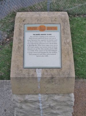
The Barrel-Makers' Co-ops
— Saint Anthony Falls Heritage Trail —
The red brick building at the corner of Third Avenue and First Street was one of many factories that supplied the barrels used for flour. Called coopers, the skilled workers who made barrels pioneered a new role for labor in Minneapolis. When their wages were cut in 1874 and a strike was broken, some of them formed a co-op. The idea spread, and by 1886 two-thirds of the coopers at the falls belonged to shops owned and managed by the workers. They prospered until flour sacks replaced barrels after 1900.
Erected by the St. Anthony Falls Heritage Board.
Topics. This historical marker is listed in these topic lists: Industry & Commerce • Labor Unions. A significant historical year for this entry is 1874.
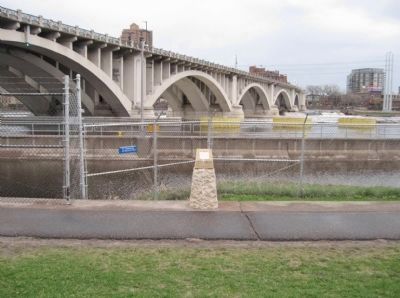
Location. 44° 58.927′ N, 93° 15.675′ W. Marker is in Minneapolis, Minnesota, in Hennepin County. It is in Downtown West. Marker is on West River Parkway, ¼ mile west of Portland Avenue South, on the right when traveling west. Marker is along a walking path next to the Mississippi River. Touch for map. Marker is in this post office area: Minneapolis MN 55401, United States of America. Touch for directions.
Other nearby markers. At least 8 other markers are within walking distance of this marker. The Washburn and Pillsbury Clans (within shouting distance of this marker); William de la Barre (about 500 feet away, measured in a direct line); New Uses for Old Mills (about 600 feet away); Indians at the Falls (about 600 feet away); Giants in the Land: The Power of Minneapolis Mills and Millers (about 700 feet away); Stone Arch Bridge (approx. 0.2 miles away); Historic Milling District (approx. 0.2 miles away); The Falls of St. Anthony (approx. 0.2 miles away). Touch for a list and map of all markers in Minneapolis.
Also see . . . Third Avenue Bridge. Wikipedia entry. (Submitted on July 11, 2011.)
Credits. This page was last revised on April 24, 2024. It was originally submitted on July 11, 2011, by Keith L of Wisconsin Rapids, Wisconsin. This page has been viewed 979 times since then and 23 times this year. Photos: 1, 2. submitted on July 11, 2011, by Keith L of Wisconsin Rapids, Wisconsin.

