Near Amador City in Amador County, California — The American West (Pacific Coastal)
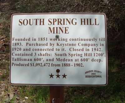
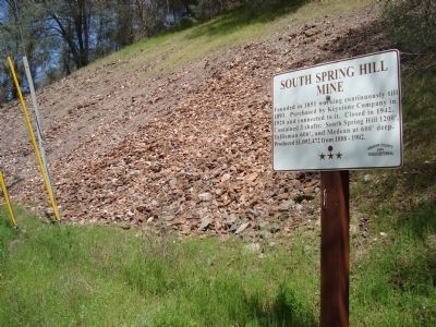
South Spring Hill Mine
Erected 2004 by Amador County Sesquicentennial Commission. (Marker Number 12.)
Topics and series. This historical marker is listed in these topic lists: Industry & Commerce • Natural Resources. In addition, it is included in the California - Sutter Creek Gold Mine Trail series list. A significant historical year for this entry is 1851.
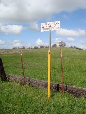
Location. 38° 24.806′ N, 120° 49.143′ W. Marker is near Amador City, California, in Amador County. Marker is on String Bean Alley east of Old Route 49. Touch for map. Marker is at or near this postal address: 10301-10355 Old Sutter Creek-Amador City Highway, Amador City CA 95601, United States of America. Touch for directions.
Other nearby markers. At least 8 other markers are within 2 miles of this marker, measured as the crow flies. Keystone Mine (approx. 0.4 miles away); Imperial Hotel (approx. half a mile away); Original Amador Mine (approx. half a mile away); Amador City Cemetery (approx. 0.6 miles away); Bunker Hill Mine (approx. 0.8 miles away); William Tucker's Fire Bell (approx. 1.1 miles away); Sutter Creek’s First Fire Bell (approx. 1.1 miles away); Lincoln Mine (approx. 1.2 miles away). Touch for a list and map of all markers in Amador City.
Credits. This page was last revised on July 26, 2018. It was originally submitted on July 14, 2011, by Barry Swackhamer of Brentwood, California. This page has been viewed 797 times since then and 24 times this year. Photos: 1, 2, 3. submitted on July 14, 2011, by Barry Swackhamer of Brentwood, California. • Syd Whittle was the editor who published this page.


