Stillwater Township in Washington County, Minnesota — The American Midwest (Upper Plains)
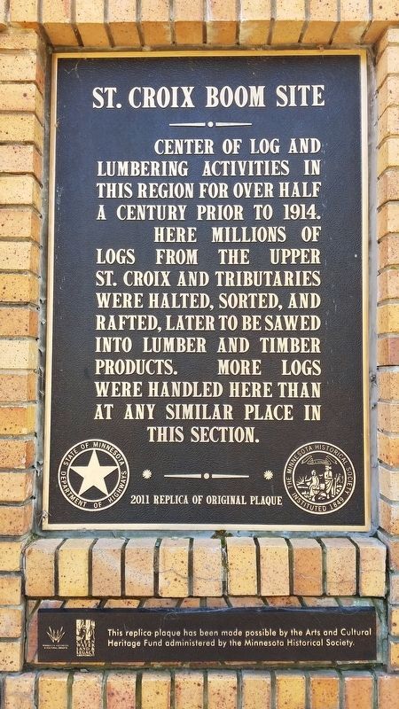
St. Croix Boom Site
Center of log and lumbering activities in this region for over half a century prior to 1914.
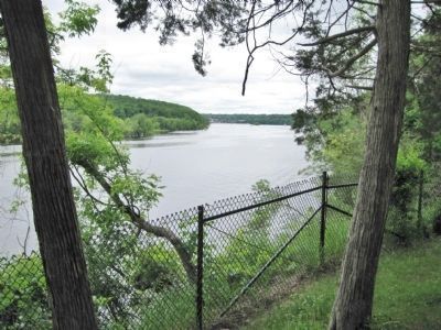
Here millions of logs from the upper St. Croix and tributaries were halted, sorted, and rafted, later to be sawed into lumber and timber products. More logs were handled here than at any similar place in this section.
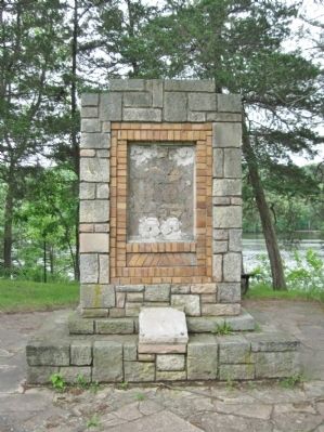
2011 Replica of Original Plaque
{Lower plaque}
This replica plaque has been made possible by the Arts and Cultural Heritage Fund administered by the Minnesota Historical Society.
Erected 1937 by the National Youth Administration. (Marker Number WA-SWT-004.)
Topics and series. This historical marker is listed in these topic lists: Industry & Commerce • Waterways & Vessels. In addition, it is included in the Minnesota Historical Society, and the National Historic Landmarks series lists. A significant historical year for this entry is 1914.
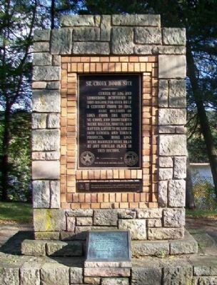
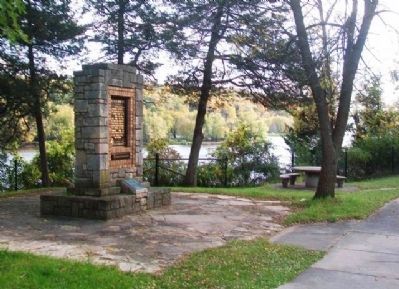
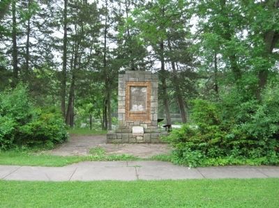
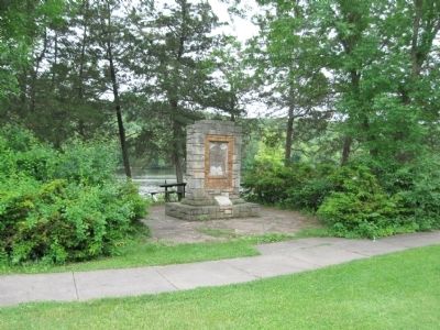
Location. 45° 5.056′ N, 92° 47.207′ W. Marker is near Stillwater, Minnesota, in Washington County. It is in Stillwater Township. Marker is on Saint Croix Trail (State Highway 95 at milepost 101), 1.3 miles north of Dellwood Road (State Highway 96), on the right when traveling north. The shrine-type limestone marker is at a highway wayside. Touch for map. Marker is in this post office area: Stillwater MN 55082, United States of America. Touch for directions.
Other nearby markers. At least 8 other markers are within 2 miles of this marker, measured as the crow flies. Life at the Boom (about 400 feet away, measured in a direct line); Controlling A River Of Logs (about 400 feet away); Geology of Minnesota (approx. 0.3 miles away); Tamarack House (approx. 1.3 miles away); Loop Trail Fun Facts (approx. 1˝ miles away in Wisconsin); Glacial Landscape (approx. 1˝ miles away in Wisconsin); Western Prairie Restoration (approx. 1.7 miles away in Wisconsin); Lower St. Croix River Sandbars (approx. 1.7 miles away in Wisconsin). Touch for a list and map of all markers in Stillwater.
More about this marker. The 1937 St. Croix Boom Site metal plaque was missing since 2008. The smaller 1966 National Historic Landmark plaque – which was there in 2008 – was also missing. They were replaced/restored by 2014.
Seals of the State of Minnesota Department of Highways and The Minnesota Historical Society are on the plaque.
Also see . . .
1. Minnesota Department of Transportation. Historic Roadside Development Structures Inventory. "It is possible that the stone for the wayside rest was salvaged from the buildings of the Minnesota Territorial/State Prison in Stillwater." (Submitted on July 17, 2011.)
2. Saint Croix Boom Site. Historic Saint Croix River Structure. "Crews of men called ‘boom rats’ would watch for the log brand markings, then group together logs with the same brand. Once a large group of logs of the same brand were assembled, they would be formed into a raft and sent downstream with a crew onboard to steer the raft of logs into the proper mill." (Submitted on July 17, 2011.)
3. St. Croix Boom Site. Wikipedia entry. "During the 1870s, logs were frequently backed up for 15 miles (25 km) above the boom during mid-summer." (Submitted on July 17, 2011.)
Photographed By Keith L, October 15, 2008
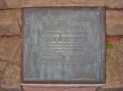
4. National Historic Landmark Plaque
St. Croix Boom Site has been designated a Registered National Historic Landmark under the
provisions of the Historic Sites Act of August 21, 1935. This site possesses exceptional
value in commemorating or illustrating the history of the United States. U.S. Department of
the Interior, National Park Service, 1966
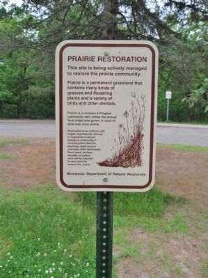
Photographed By Keith L, June 11, 2011
9. Nearby Sign
Credits. This page was last revised on September 28, 2023. It was originally submitted on July 17, 2011, by Keith L of Wisconsin Rapids, Wisconsin. This page has been viewed 1,021 times since then and 32 times this year. Last updated on September 27, 2023, by McGhiever of Minneapolis, Minnesota. Photos: 1. submitted on April 7, 2020, by Fitzie Heimdahl of Eau Claire, Wisconsin. 2, 3. submitted on November 6, 2014, by William Fischer, Jr. of Scranton, Pennsylvania. 4, 5, 6, 7, 8, 9. submitted on July 17, 2011, by Keith L of Wisconsin Rapids, Wisconsin. 10. submitted on November 6, 2014, by William Fischer, Jr. of Scranton, Pennsylvania. • J. Makali Bruton was the editor who published this page.
