Near Rydal in Bartow County, Georgia — The American South (South Atlantic)
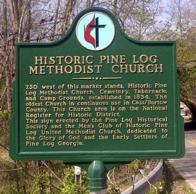
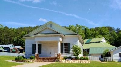
Historic Pine Log Methodist Church
This sign erected by the Pine Log Historical Society and the Men's Club of Historic Pine Log United Methodist Church, dedicated to the Glory of God and the Early Settlers of Pine Log Georgia.
Erected by Pine Log Historical Society and the Men´s Club of Historic Pine Log United Methodist Church, dedicated to.
Topics. This historical marker is listed in this topic list: Churches & Religion. A significant historical year for this entry is 1834.
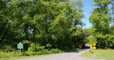
Location. Marker has been reported missing. It was located near 34° 20.945′ N, 84° 43.431′ W. Marker was near Rydal, Georgia, in Bartow County. Marker was at the intersection of U.S. 411 and Pine Log Road (Old Georgia Route 140), on the left when traveling north on U.S. 411. Touch for map. Marker was in this post office area: Rydal GA 30171, United States of America. Touch for directions.
Other nearby markers. At least 8 other markers are within 10 miles of this location, measured as the crow flies. Pine Log Church Historic District (about 300 feet away, measured in a direct line); Corra Harris (approx. 2.7 miles away); Historic Mount Pleasant Church (approx. 3 miles away); Old Pine Log Indian Town (approx. 3.3 miles away); Old Sonora P.O. Now Sonoraville (approx. 8˝ miles away); Rowland Springs (approx. 8.7 miles away); Confederate Memorial Cassville Cemetery (approx. 9.7 miles away); Confederate Dead (approx. 9.7 miles away). Touch for a list and map of all markers in Rydal.
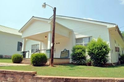
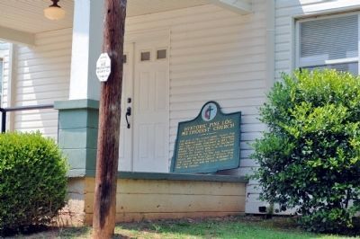
More about this marker. In July 2011 the marker pole has vanished, and the marker itself is sitting on the porch of the Pine Log Methodist Church addition, just to the east of the original church.
Additional commentary.
1. My great grandfather was Rev. J. M Brown
He was Rev. J.M. Brown, husband of M.E. Brown (Green). I have family records that he was preacher of Pinelog methodist church. He was born March 25th, 1862, passed away June 29th, 1918. If anyone has any information of this, I would appreciate it. Thank you very much. Joan Ivers.
Editor's Note: You may contact Ms. Ivers through a note to the editor or adding a comment to this page.
— Submitted April 15, 2010, by Joan Ivers of Okc., Ok..
Credits. This page was last revised on March 11, 2019. It was originally submitted on November 1, 2008, by David Seibert of Sandy Springs, Georgia. This page has been viewed 2,229 times since then and 36 times this year. Last updated on July 19, 2011, by David Seibert of Sandy Springs, Georgia. Photos: 1. submitted on November 1, 2008, by David Seibert of Sandy Springs, Georgia. 2. submitted on May 21, 2009, by David Seibert of Sandy Springs, Georgia. 3, 4. submitted on July 19, 2011, by David Seibert of Sandy Springs, Georgia. 5, 6, 7, 8. submitted on May 21, 2009, by David Seibert of Sandy Springs, Georgia. • Kevin W. was the editor who published this page.
