San Antonio in Socorro County, New Mexico — The American Mountains (Southwest)
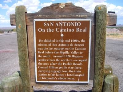
San Antonio
On the Camino Real
Erected by New Mexico Historic Preservation Division.
Topics and series. This historical marker is listed in these topic lists: Exploration • Settlements & Settlers. In addition, it is included in the El Camino Real de Tierra Adentro series list. A significant historical year for this entry is 1820.
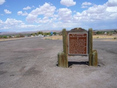
Location. 33° 55.036′ N, 106° 52.409′ W. Marker is in San Antonio, New Mexico, in Socorro County. Marker is on U.S. 380 at milepost 0.4, on the right when traveling east. Touch for map. Marker is in this post office area: San Antonio NM 87832, United States of America. Touch for directions.
Other nearby markers. At least 8 other markers are within 10 miles of this marker, measured as the crow flies. San Pedro (approx. 1.6 miles away); Carthage-Tokay-Farley (approx. 8.8 miles away); Socorro (approx. 9 miles away); Bursum House (approx. 9.7 miles away); Jumbo (approx. 9.7 miles away); Knights of Pythias Hall (approx. 9.7 miles away); Abeyta Block (approx. 9.8 miles away); Price Lowenstein Mercantile (approx. 9.8 miles away). Touch for a list and map of all markers in San Antonio.
Credits. This page was last revised on June 16, 2016. It was originally submitted on July 28, 2011, by Bill Kirchner of Tucson, Arizona. This page has been viewed 937 times since then and 56 times this year. Photos: 1, 2, 3. submitted on July 28, 2011, by Bill Kirchner of Tucson, Arizona. • Syd Whittle was the editor who published this page.


