Jonesborough in Washington County, Tennessee — The American South (East South Central)
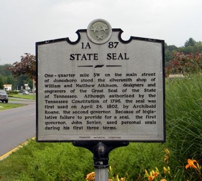
State Seal
Erected by Tennessee Historical Commission. (Marker Number 1A-87.)
Topics and series. This historical marker is listed in this topic list: Government & Politics. In addition, it is included in the Tennessee Historical Commission series list. A significant historical month for this entry is April 1986.
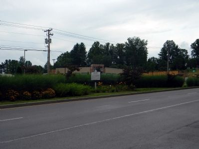
Location. 36° 17.989′ N, 82° 28.029′ W. Marker is in Jonesborough, Tennessee, in Washington County. Marker is on East Jackson Boulevard (U.S. 11E) 0.1 miles east of Boone Street, in the median. Touch for map. Marker is in this post office area: Jonesborough TN 37659, United States of America. Touch for directions.
Other nearby markers. At least 8 other markers are within walking distance of this marker. Jonesborough Veterans Park (approx. 0.3 miles away); Thomas Emmerson (approx. 0.3 miles away); Warner Institute (approx. 0.3 miles away); Boone Trail Highway (approx. half a mile away); Jonesborough (approx. half a mile away); Jacob Brown (approx. half a mile away); Chester Inn (approx. 0.6 miles away); Captain Christopher Taylor Home (approx. 0.6 miles away). Touch for a list and map of all markers in Jonesborough.
Credits. This page was last revised on August 27, 2020. It was originally submitted on August 1, 2011, by PaulwC3 of Northern, Virginia. This page has been viewed 484 times since then and 26 times this year. Photos: 1, 2. submitted on August 1, 2011, by PaulwC3 of Northern, Virginia.

