Gibbon in Buffalo County, Nebraska — The American Midwest (Upper Plains)
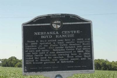
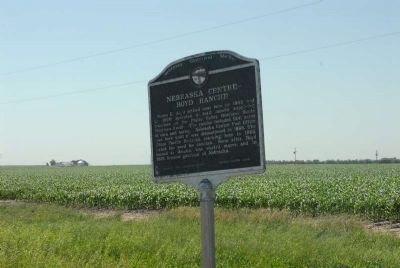
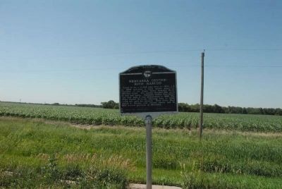
Nebraska Centre - Boyd Ranche
Erected by Nebraska State Historical Society. (Marker Number 359.)
Topics and series. This historical marker is listed in this topic list: Settlements & Settlers. In addition, it is included in the Nebraska State Historical Society series list. A significant historical year for this entry is 1858.
Location. 40° 44.602′ N, 98° 52.205′ W. Marker is in Gibbon, Nebraska, in Buffalo County. Marker is on U.S. 30, 0.1 miles east of Navaho Road. Touch for map. Marker is in this post office area: Gibbon NE 68840, United States of America. Touch for directions.
Other nearby markers. At least 8 other markers are within 8 miles of this marker, measured as the crow flies. First Buffalo County Court House (approx. 1.3 miles away); Gibbon (approx. 1.3 miles away); Memorial Tree (approx. 1.3 miles away); The Soldiers Free Homestead Colony (approx. 1.4 miles away); In Honor of D. E. "Mac" McGregor (approx. 2.9 miles away); a different marker also named Gibbon (approx. 2.9 miles away); Joseph E. Johnson and the Huntsman’s Echo (approx. 7˝ miles away); Shelton Pioneers (approx. 7.6 miles away). Touch for a list and map of all markers in Gibbon.
Credits. This page was last revised on November 14, 2020. It was originally submitted on August 2, 2011, by Charles T. Harrell of Woodford, Virginia. This page has been viewed 694 times since then and 22 times this year. Photos: 1, 2, 3. submitted on August 2, 2011, by Charles T. Harrell of Woodford, Virginia. • Bill Pfingsten was the editor who published this page.


