Plaza Vieja in Albuquerque in Bernalillo County, New Mexico — The American Mountains (Southwest)
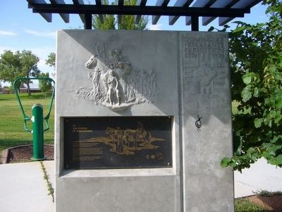
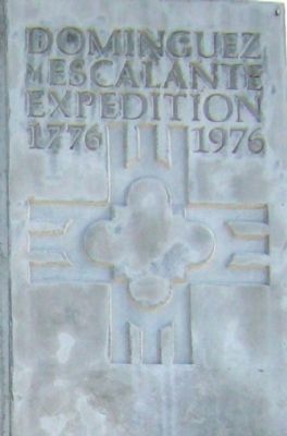
Dominguez y Escalante Expedition
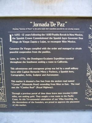
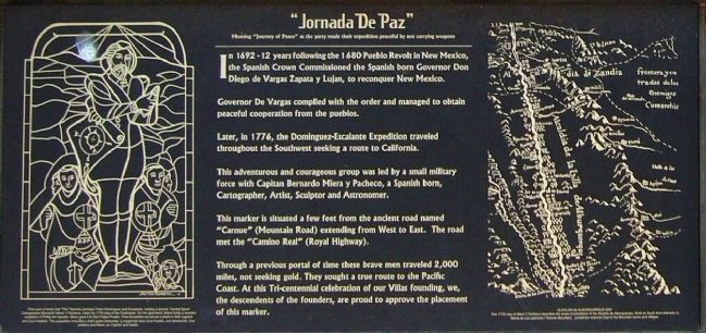
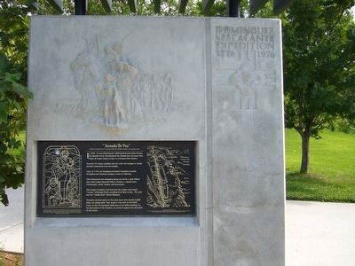
“Jornada De Paz”
— 1776 – 1976 —
(side one)
Meaning "Journey of Peace" as the party made their expedition peaceful by not carrying weapons
In 1692 - 12 years following the 1680 Pueblo Revolt in New Mexico, the Spanish Crown Commissioned the Spanish born Governor Don Diego de Vargas Zapata y Lujan, to reconquer New Mexico.
Governor De Vargas complied with the order and managed to obtain peaceful cooperation from the pueblos.
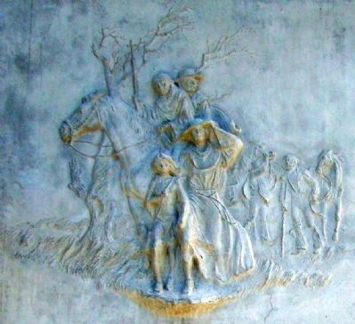
Later, in 1776, the Dominguez-Escalante Expedition traveled throughout the Southwest seeking a route to California.
This adventurous and courageous group was led by a small military force with Capitan Bernardo Miera y Pacheco, a Spanish born, Cartographer, Artist, Sculptor and Astronomer.
This marker is situated a few feet from the ancient road named "Carnue" (Mountain Road) extending from West to East. The road met the "Camino Real" (Royal Highway).
Through a previous portal of time these brave men traveled 2,000 miles, not seeking gold. They sought a true route to the Pacific Coast. At this Tri-centennial celebration of our Villas founding, we, the descendants of the founders, are proud to approve the placement of this marker.
(side two)
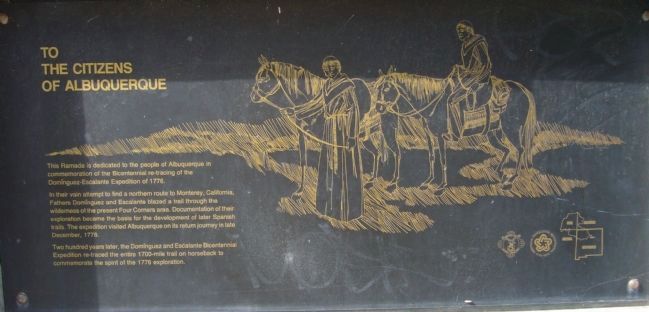
To the Citizens of Albuquerque
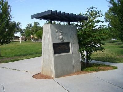
This Ramada is dedicated to the people of Albuquerque in commemoration of the Bicentennial re-tracing of the Dominguez-Escalante Expedition of 1776.
In their vain attempt to find a northern route to Monterey, California, Fathers Dominguez and Escalante blazed a trail through the wilderness of the present Four Corners area. Documentation of their exploration became the basis for the development of later Spanish trails. The expedition visited Albuquerque on its return journey in late December, 1776.
Two hundred years later, the Dominguez and Escalante Bicentennial Expedition re-traced the entire 1700-mile trail on horseback to commemorate the spirit of the 1776 exploration.
Topics and series. This historical marker is listed in this topic list: Exploration. In addition, it is included in the El Camino Real de Tierra Adentro series list. A significant historical month for this entry is December 1776.
Location. 35° 5.818′ N, 106° 39.959′ W. Marker is in Albuquerque, New Mexico, in Bernalillo County. It is in Plaza Vieja. Marker can be reached from the intersection of Mountain Road NW and Old Town Road NW. Marker is in the center of Tiguex Park. Touch for map. Marker is at or near this postal address: 1800 Mountain Road NW, Albuquerque NM 87104, United States of America. Touch for directions.
Other nearby markers. At least 8 other markers are within walking distance of this marker. Founding Women of Albuquerque (about 400 feet away, measured in a direct line); Cuarto Centenario Memorial (about 600 feet away); La Jornada (about 600 feet away); Welcome to Patio Escondido (approx. 0.2 miles away); Casa de Armijo (approx. 0.2 miles away); a different marker also named Casa de Armijo (approx. 0.2 miles away); Mountain Howitzers (approx. 0.2 miles away); Albuquerque (approx. 0.2 miles away). Touch for a list and map of all markers in Albuquerque.
Also see . . . Dominguez-Escalante Expedition. Wikipedia (Submitted on August 10, 2011, by Bernard Fisher of Richmond, Virginia.)
Credits. This page was last revised on February 2, 2023. It was originally submitted on August 2, 2011, by Bill Kirchner of Tucson, Arizona. This page has been viewed 1,495 times since then and 34 times this year. It was the Marker of the Week July 26, 2015. Photos: 1, 2, 3, 4, 5, 6, 7, 8. submitted on August 2, 2011, by Bill Kirchner of Tucson, Arizona. • Bernard Fisher was the editor who published this page.
