Marker Logo HMdb.org THE HISTORICAL
MARKER DATABASE
“Bite-Size Bits of Local, National, and Global History”
Near Virginia City in Storey County, Nevada — The American Mountains (Southwest)
 

Old Geiger Grade

'In Canyon Below'


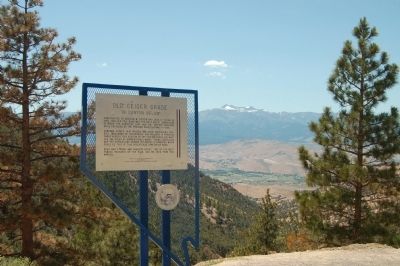
Old Geiger Grade Marker image. Click for full size.
Photographed By Barry Swackhamer, July 22, 2011
1. Old Geiger Grade Marker
Inscription. Constructed by Davidson M. Geiger and John H. Tilton in 1862, this old toll road was the most direct connection between the Comstock Lode and Truckee Meadows until replace by the present paved highway in 1936.

Concord stages, mud wagons ten-mule freighters carried thousands of passengers and millions in precious cargo across this section of the Virginia Range and many are the tales of unpredictable winds, snows, landslides and the everlasting danger of lurking highwaymen which could be told of this precipitous stretch of road.

Dead Man’s Point and Robber’s Roost, two of the most famous features of the road, can be seen from this marker.
 
Erected 1978 by Reno Chapter, Daughters of the American Colonists. (Marker Number 211.)
 
Topics and series. This historical marker is listed in this topic list: Roads & Vehicles. In addition, it is included in the Daughters of the American Colonists series list. A significant historical year for this entry is 1862.
 
Location. 39° 22.358′ N, 119° 40.058′ W. Marker is near Virginia City, Nevada, in Storey County. Marker is on Geiger Grade Road (State Highway 341), on the left when traveling west. Touch for map. Marker is in this post office area: Reno NV 89521, United States of America. Touch for directions.
 
Other nearby markers. At least 8 other markers are within 4 miles of this marker, measured as the crow
Paid Advertisement
Click on the ad for more information.
Please report objectionable advertising to the Editor.
Click or scan to see
this page online
flies. Lousetown (approx. 1.9 miles away); Geiger Station (approx. 2.6 miles away); Hebrew Cemetery 1862 (approx. 3.8 miles away); The Comstock Lode (approx. 4 miles away); Steamboat Springs (approx. 4 miles away); Veterans Day November 11th 1995 (approx. 4 miles away); Silver Terrace Cemeteries (approx. 4 miles away); Life in Virginia City on the Comstock Lode (approx. 4.1 miles away). Touch for a list and map of all markers in Virginia City.
 
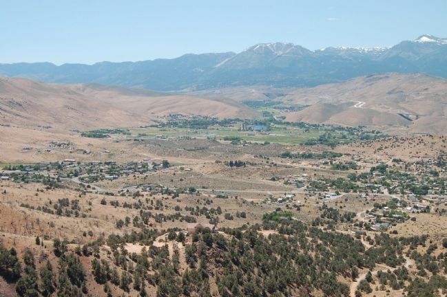
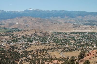
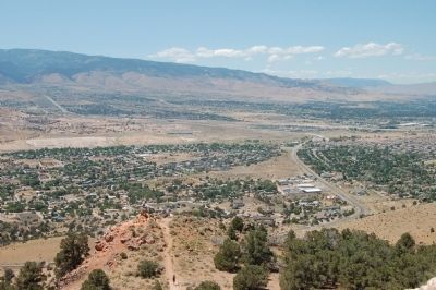
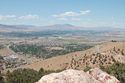
Regarding Old Geiger Grade. At the Geiger Lookout, approximately 2 miles west of this marker, one can view Truckee Meadows in the distance.
 
Old Geiger Grade Marker image. Click for full size.
Photographed By Barry Swackhamer, July 22, 2011
2. Old Geiger Grade Marker
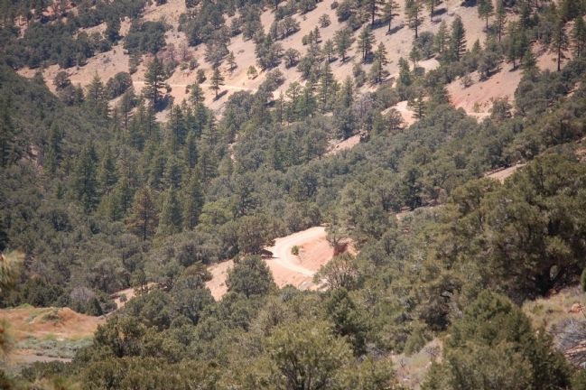
The Old Geiger Grade image. Click for full size.
Photographed By Barry Swackhamer, July 22, 2011
3. The Old Geiger Grade
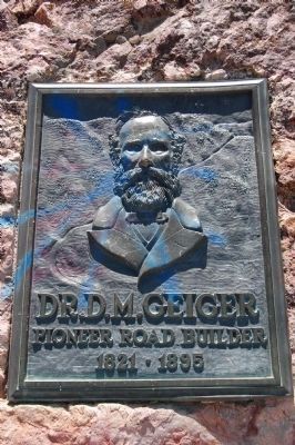
Dr. D.M. Geiger Monument Located at the Geiger Lookout image. Click for full size.
Photographed By Barry Swackhamer
4. Dr. D.M. Geiger Monument Located at the Geiger Lookout

Dr. D. M. Geiger
Pioneer Road Builder
1821 - 1895
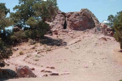
Dr. D.M. Geiger Monument image. Click for full size.
Photographed By Barry Swackhamer
5. Dr. D.M. Geiger Monument
The plaque is mounted on the large rock seen at the end of this path. Click on photo to view a close-up of the plaque placement.
Panorama of Truckee Meadows from the Geiger Lookout, #1 image. Click for full size.
Photographed By Barry Swackhamer
6. Panorama of Truckee Meadows from the Geiger Lookout, #1
Panorama of Truckee Meadows from the Geiger Lookout, #2 image. Click for full size.
Photographed By Barry Swackhamer
7. Panorama of Truckee Meadows from the Geiger Lookout, #2
Panorama of Truckee Meadows from the Geiger Lookout, #3 image. Click for full size.
Photographed By Barry Swackhamer
8. Panorama of Truckee Meadows from the Geiger Lookout, #3
Panorama of Truckee Meadows from the Geiger Lookout, #4 image. Click for full size.
Photographed By Barry Swackhamer
9. Panorama of Truckee Meadows from the Geiger Lookout, #4
 
 
Credits. This page was last revised on June 16, 2016. It was originally submitted on August 3, 2011, by Barry Swackhamer of Brentwood, California. This page has been viewed 2,294 times since then and 77 times this year. Photos:   1, 2, 3, 4, 5, 6, 7, 8, 9. submitted on August 3, 2011, by Barry Swackhamer of Brentwood, California. • Syd Whittle was the editor who published this page.
Share this page.  
Share on Tumblr
m=45486

CeraNet Cloud Computing sponsors the Historical Marker Database.
This website earns income from purchases you make after using our links to Amazon.com. We appreciate your support.
Paid Advertisement
Apr. 24, 2024