Near Reads Landing in Wabasha County, Minnesota — The American Midwest (Upper Plains)
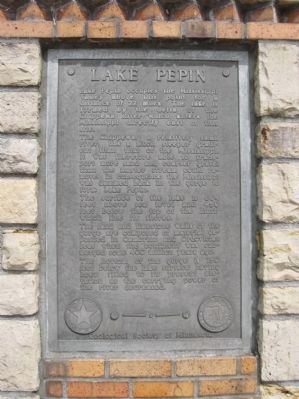
Lake Pepin
The Chippewa, a relatively small river, has a much steeper gradient than that of the Mississippi. It was therefore able to transport more sand and coarser gravel than the master stream could remove. In consequence the Mississippi was dammed back in the gorge to form Lake Pepin.
The surface of the lake is 664 feet above sea level and 450 feet below the top of the bluffs which line its shores.
The sand and limestone walls of the gorge are composed of material deposited in Cambrian and Ordovician seas when the continent was submerged some 400 million years ago.
The bottom of the gorge is 150 feet below the lake surface having been filled to its present elevation as the carrying power of the river decreased.
Geological Society of Minnesota
Erected 1950 by the Geological Society of Minnesota. (Marker Number WB-PEP-012.)
Topics and series. This historical marker is listed in this topic list: Waterways & Vessels . In addition, it is included in the Minnesota Historical Society, and the Minnesota: Geological Society of Minnesota series lists.
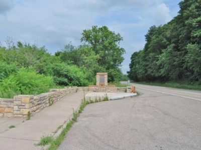
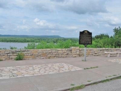
Location. 44° 24.607′ N, 92° 6.421′ W. Marker is near Reads Landing, Minnesota, in Wabasha County. Marker is on Great River Road (U.S. 61) 1˝ miles north of 9th Avenue, on the right when traveling north. Marker is at the eastern end of Reads Landing / Lake Pepin Scenic Overlook. Touch for map. Marker is in this post office area: Reads Landing MN 55968, United States of America. Touch for directions.
Other nearby markers. At least 8 other markers are within 5 miles of this marker, measured as the crow flies. A different marker also named Lake Pepin (within shouting distance of this marker); The River of Rafts (within shouting distance of this marker); Anchor from the "Phil Scheckel" (approx. 3.2 miles away in Wisconsin); Laura Ingalls Wilder (approx. 3.2 miles away in Wisconsin); The Bridge (approx. 4 miles away); Wapahasha I / Wapahasha II / Wapahasha III (approx. 4.2 miles away); Veterans Memorial (approx. 4.2 miles away); Grace Memorial Episcopal Church (approx. 4.2 miles away). Touch for a list and map of all markers in Reads Landing.
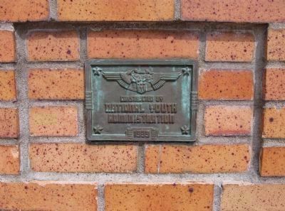
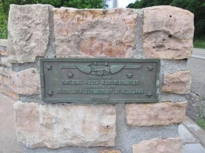
More about this marker. The original 1939 bronze plaque was replaced by this current geological plaque in 1950.
Also see . . .
1. Lake Pepin. Wikipedia entry. "Lake Pepin is a naturally occurring lake, and the widest naturally occurring part of the Mississippi River... [it is] the largest lake on the entire Mississippi River." (Submitted on August 6, 2011.)
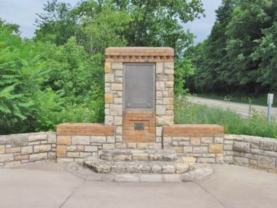
2. Minnesota Department of Transportation. Historic Roadside Development Structures Inventory. "Built into the eastern end of the wall is a stone shrine-type marker. It has a rectangular shaft that supports a rectangular aluminum plaque set within a niche." (Submitted on August 6, 2011.)
Credits. This page was last revised on June 16, 2016. It was originally submitted on August 6, 2011, by Keith L of Wisconsin Rapids, Wisconsin. This page has been viewed 980 times since then and 20 times this year. Photos: 1, 2, 3, 4, 5, 6. submitted on August 6, 2011, by Keith L of Wisconsin Rapids, Wisconsin.
