Madison in Morgan County, Georgia — The American South (South Atlantic)
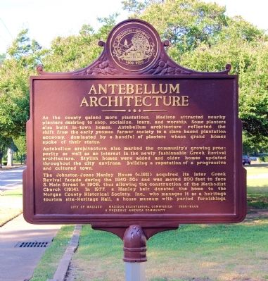
Antebellum Architecture
Antebellum architecture also marked the community’s growing prosperity as well as an interest in the newly fashionable Greek Revival architecture. Stylish homes were added and older homes updated throughout the city environs, building a reputation of a progressive and cultured town.
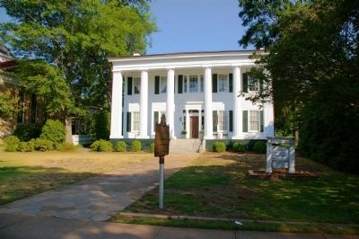
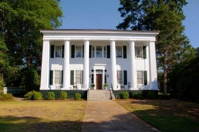
The Johnston-Jones-Manley House (c.1811) acquired its later Greek Revival façade during the 1840-1850s and was moved 200 feet to face S. Main Street in 1908, thus allowing the construction of the Methodist Church (1914). In 1977, a Manley heir donated the home to the Morgan County Historical Society, Inc., who manages it as a heritage tourism site-Heritage Hall, a house museum with period furnishings.
Erected 2011 by City of Madison, Madison BiCentennial Commission 1809-2009.
Topics. This historical marker is listed in these topic lists: Agriculture • Architecture • Settlements & Settlers. A significant historical year for this entry is 1908.
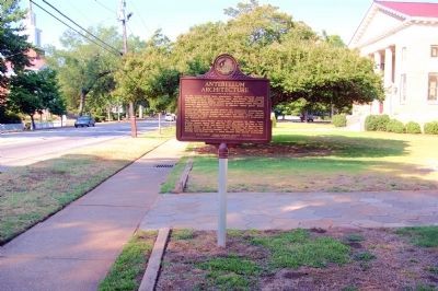
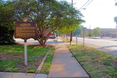
Location. 33° 35.633′ N, 83° 28.183′ W. Marker is in Madison, Georgia, in Morgan County. Marker is at the intersection of South Main Street (U.S. 278) and Jones Alley, on the right when traveling west on South Main Street. Touch for map. Marker is at or near this postal address: 277 South Main Street, Madison GA 30650, United States of America. Touch for directions.
Other nearby markers. At least 8 other markers are within walking distance of this marker. Early Academies (about 700 feet away, measured in a direct line); Reconstruction Property Rights (about 700 feet away); Foundation to Consolidation (approx. 0.2 miles away); Madison (approx. 0.2 miles away); Banking Institutions (approx. 0.2 miles away); Madison Historic Cemeteries (approx. 0.2 miles away); Early Religious Life (approx. 0.2 miles away); The Town Square (approx. 0.2 miles away). Touch for a list and map of all markers in Madison.
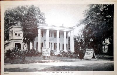
Unknown. Postcard from David Seibert Collection, September 5, 2011
6. "Travelers Inn, Madison, Ga."
A postcard from the Commercial Coldtype Company, Chicago, undated, number 62886. It was taken some time after 1923 when the home had been converted to a "Travellers Inn," with "Home Cooking" and "Cars Stored Free" according to signs in the yard. The home was sold to the Friends of Heritage Hall in 1977.
Credits. This page was last revised on October 21, 2020. It was originally submitted on August 6, 2011, by David Seibert of Sandy Springs, Georgia. This page has been viewed 1,032 times since then and 27 times this year. Photos: 1, 2, 3, 4, 5. submitted on August 6, 2011, by David Seibert of Sandy Springs, Georgia. 6. submitted on September 5, 2011, by David Seibert of Sandy Springs, Georgia. • Craig Swain was the editor who published this page.
