Midland in Midland County, Michigan — The American Midwest (Great Lakes)
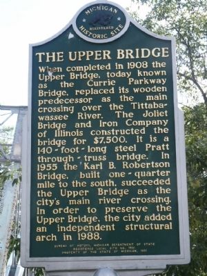
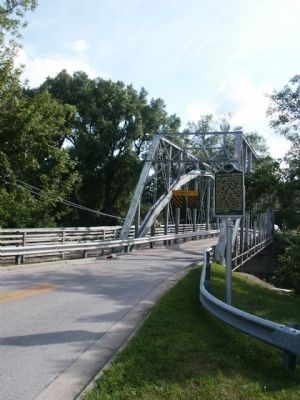
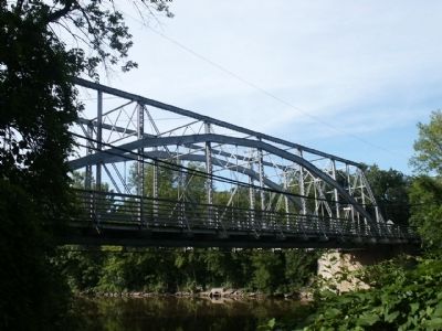
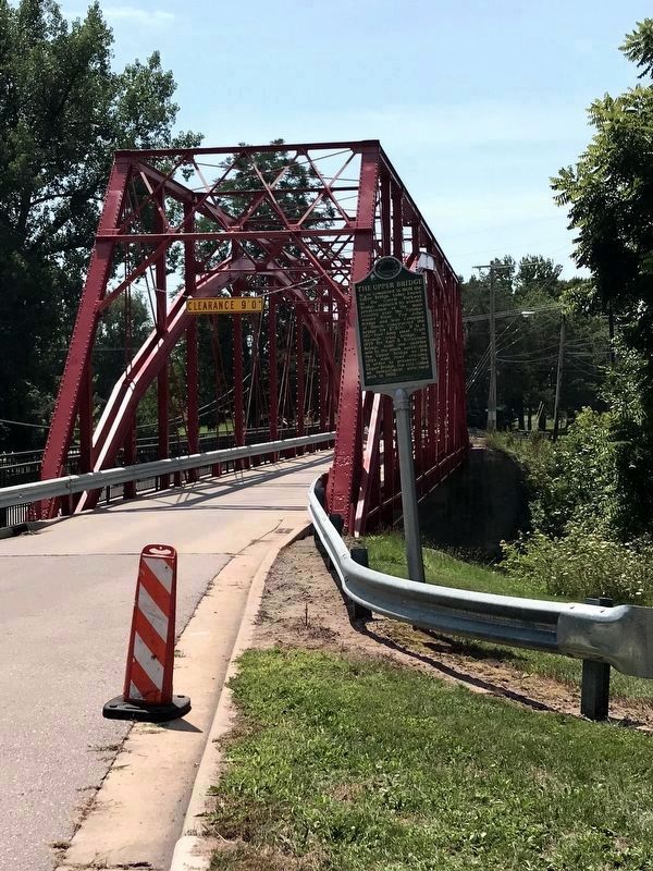
The Upper Bridge
Erected 1991. (Marker Number L1581.)
Topics and series. This historical marker is listed in this topic list: Bridges & Viaducts. In addition, it is included in the Michigan Historical Commission series list. A significant historical year for this entry is 1908.
Location. 43° 37.058′ N, 84° 15.134′ W. Marker is in Midland, Michigan, in Midland County. Marker is at the intersection of Currie Parkway and West Main Street, on the right when traveling west on Currie Parkway. The marker is about 0.3 miles north of State Highway 20 (Jerome Street). Touch for map. Marker is in this post office area: Midland MI 48640, United States of America. Touch for directions.
Other nearby markers. At least 8 other markers are within 8 miles of this marker, measured as the crow flies. John and Almira Kelly House (approx. 0.2 miles away); Midland County Courthouse (approx. 0.4 miles away); Pine Grove Cemetery (approx. 7.2 miles away); Jerome Township Veterans Memorial (approx. 7.4 miles away); Origins of the Salt Industry / State Salt Well No. 1 (approx. 7.6 miles away); Stump Puller (approx. 7.9 miles away); Lumberman's Bunkhouse (approx. 7.9 miles away); Log Cabin (approx. 7.9 miles away). Touch for a list and map of all markers in Midland.
Credits. This page was last revised on December 30, 2020. It was originally submitted on August 10, 2011, by Joel Seewald of Madison Heights, Michigan. This page has been viewed 794 times since then and 21 times this year. Last updated on December 30, 2020, by John Garman of Rochester Hills. Photos: 1, 2, 3. submitted on August 10, 2011, by Joel Seewald of Madison Heights, Michigan. 4. submitted on December 30, 2020, by John Garman of Rochester Hills. • Mark Hilton was the editor who published this page.


