Hondo in Lincoln County, New Mexico — The American Mountains (Southwest)
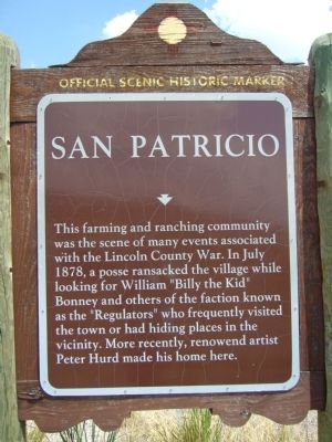
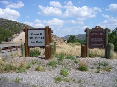
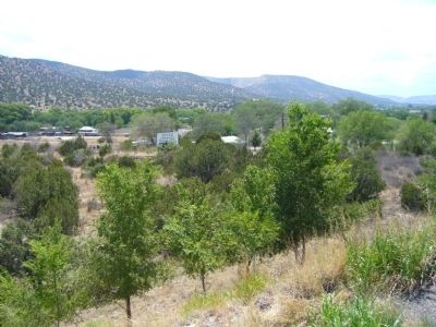
San Patricio
Erected by New Mexico Historic Preservation Division.
Topics. This historical marker is listed in these topic lists: Notable Events • Notable Places. A significant historical month for this entry is July 1878.
Location. 33° 24.474′ N, 105° 19.545′ W. Marker is in Hondo, New Mexico, in Lincoln County. Marker is on U.S. 70 at milepost 281.2, on the right when traveling east. Touch for map. Marker is in this post office area: Hondo NM 88336, United States of America. Touch for directions.
Other nearby markers. At least 8 other markers are within 7 miles of this marker, measured as the crow flies. Historic Lincoln, New Mexico (approx. 3.2 miles away); Lincoln (approx. 6.2 miles away); Ellis and Sons' Store (approx. 6.6 miles away); Montaño Store (approx. 6.7 miles away); Montano Store (approx. 6.7 miles away); Col. Dudley's Camping Place (approx. 6.7 miles away); Earliest Courthouse (approx. 6.8 miles away); San Juan Church (approx. 6.8 miles away).

Photographed By Bill Kirchner, July 24, 2011
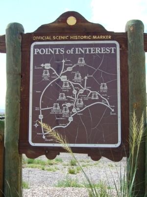
2. Back of: San Patricio Marker
Points of Interest
New Mexico's Historic Markers typically have a map on the back side showing the location of other OSHM's. This is an excellent source of information when exploring for other Historical Markers and locations.
New Mexico's Historic Markers typically have a map on the back side showing the location of other OSHM's. This is an excellent source of information when exploring for other Historical Markers and locations.
Credits. This page was last revised on June 16, 2016. It was originally submitted on August 11, 2011, by Bill Kirchner of Tucson, Arizona. This page has been viewed 1,322 times since then and 70 times this year. Photos: 1, 2, 3, 4. submitted on August 11, 2011, by Bill Kirchner of Tucson, Arizona. • Syd Whittle was the editor who published this page.


