Boonville in Cooper County, Missouri — The American Midwest (Upper Plains)
The Battle of Boonville
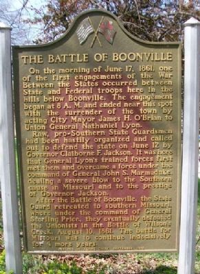
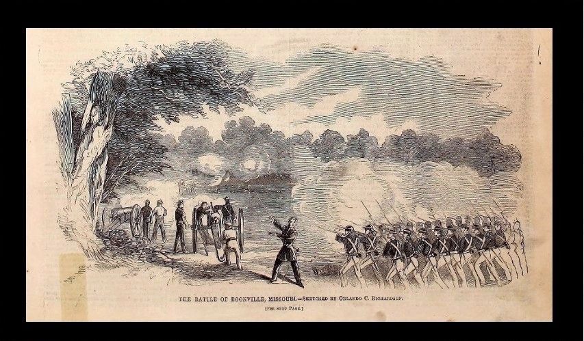
On the morning of June 17, 1861, one of the first engagements of the War Between the States occurred between State and Federal troops here in the hills below Boonville. The engagement began at 8 A.M. and ended near this spot with the surrender of the town by acting City Mayor James H. O'Brian to Union General Nathaniel Lyon.
Raw, pro-Southern State Guardsmen had been hastily organized and called out to defend the state on June 12 by Governor Claiborne F. Jackson. It was here that General Lyon's trained forces first met them and overcame a force under the command of General John S. Marmaduke, dealing a severe blow to the Southern cause in Missouri and to the prestige of Governor Jackson.
After the Battle of Boonville, the State Guard retreated to southern Missouri, where under the command of General Sterling Price, they eventually defeated the Unionists in the Battle of Wilson's Creek, August 10, 1861. The battle for Missouri was to continue indecisively for 4 more years.
Erected 1958 by Adams Dairy.
Topics. This historical marker is listed in this topic list: War, US Civil. A significant historical date for this entry is June 17, 1861.
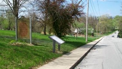
Location. 38° 58.653′ N, 92° 44.029′ W. Marker is in Boonville, Missouri, in Cooper County. Marker is on Morgan Street, on the right when traveling east. Touch for map. Marker is at or near this postal address: 1028 E Morgan St, Boonville MO 65233, United States of America. Touch for directions.
Other nearby markers. At least 8 other markers are within walking distance of this marker. A different marker also named Battle of Boonville (here, next to this marker); Hannah Cole's Fort (about 700 feet away, measured in a direct line); Replica of the Statue of Liberty (approx. half a mile away); Cooper County Korea - Vietnam War Memorial (approx. 0.6 miles away); Capture of Boonville (approx. 0.6 miles away); Cooper County World War Memorial (approx. 0.6 miles away); Thespian Hall (approx. 0.6 miles away); Capture of Union Troops (approx. 0.6 miles away). Touch for a list and map of all markers in Boonville.
Also see . . .
1. Battle of Booneville. Kansas City Public Library - The Civil War on the Wester Border entry (Submitted on January 2, 2021, by Larry Gertner of New York, New York.)
2. Wilson's Creek National Battlefield. National Park Service website entry (Submitted on August 13, 2011, by William Fischer, Jr. of Scranton, Pennsylvania.)
Credits. This page was last revised on December 19, 2023. It was originally submitted on August 13, 2011, by William Fischer, Jr. of Scranton, Pennsylvania. This page has been viewed 1,227 times since then and 57 times this year. Photos: 1, 2. submitted on August 13, 2011, by William Fischer, Jr. of Scranton, Pennsylvania. 3. submitted on January 2, 2021, by Larry Gertner of New York, New York.


