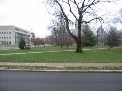
Downtown in Indianapolis in Marion County, Indiana — The American Midwest (Great Lakes)
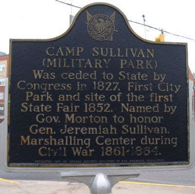
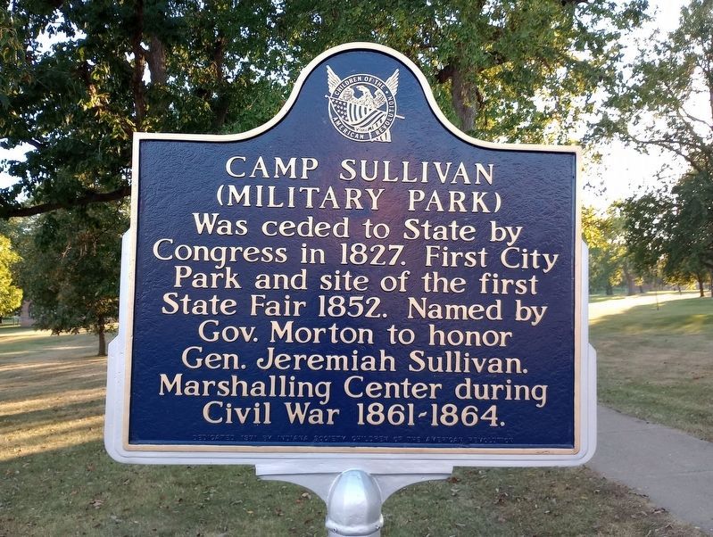
Camp Sullivan (Military Park)
Erected 1971 by Indiana Society, Children of the American Revolution.
Topics. This historical marker is listed in this topic list: War, US Civil. A significant historical year for this entry is 1827.
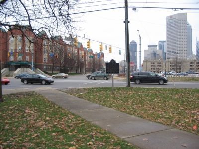
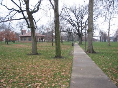
Location. 39° 46.28′ N, 86° 10.036′ W. Marker is in Indianapolis, Indiana, in Marion County. It is in Downtown. Marker is at the intersection of West New York Street and North West Street (State Road 67), on the right when traveling east on West New York Street. Located at the northeast corner of Military Park. Touch for map. Marker is in this post office area: Indianapolis IN 46204, United States of America. Touch for directions.
Other nearby markers. At least 8 other markers are within walking distance of this marker. Greek Orthodox Church (within shouting distance of this marker); a different marker also named Greek Orthodox Church (within shouting distance of this marker); September 11, 2001 (about 600 feet away, measured in a direct line); The Indiana 9/11 Memorial (about 700 feet away); The Survivor Tree (about 700 feet away); Timothy J. Maude (about 700 feet away); Bethel African Methodist Episcopal Church (about 700 feet away); A Nation in Crisis (about 800 feet away). Touch for a list and map of all markers in Indianapolis.
Credits. This page was last revised on September 16, 2023. It was originally submitted on January 7, 2008, by Craig Swain of Leesburg, Virginia. This page has been viewed 3,254 times since then and 45 times this year. Photos: 1. submitted on January 7, 2008, by Craig Swain of Leesburg, Virginia. 2. submitted on September 7, 2023, by Craig Doda of Napoleon, Ohio. 3, 4, 5. submitted on January 7, 2008, by Craig Swain of Leesburg, Virginia.
