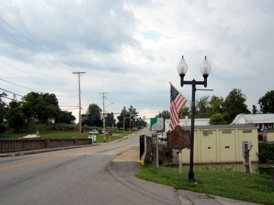
Perryville in Boyle County, Kentucky — The American South (East South Central)
Perryville
Erected 1969 by Kentucky Historical Society and Kentucky Department of Highways. (Marker Number 1284.)
Topics and series. This historical marker is listed in this topic list: Settlements & Settlers. In addition, it is included in the Kentucky Historical Society series list. A significant historical date for this entry is January 17, 1862.
Location. 37° 39.034′ N, 84° 57.068′ W. Marker is in Perryville, Kentucky, in Boyle County. Marker is at the intersection of East Second Street (U.S. 150) and Smith Street, on the right when traveling west on East Second Street. Touch for map. Marker is in this post office area: Perryville KY 40468, United States of America. Touch for directions.
Other nearby markers. At least 8 other markers are within walking distance of this marker. Merchants' Row / Street Fighting (about 300 feet away, measured in a direct line); Battle of Perryville (about 400 feet away); a different marker also named The Battle of Perryville (about 500 feet away); Bragg's Invasion of Kentucky (about 500 feet away); The City of Perryville (about 500 feet away); “If You Meet the Enemy, Overpower Him” (about 500 feet away); Perryville in the Crucible of War (about 600 feet away); a different marker also named Battle of Perryville (about 600 feet away). Touch for a list and map of all markers in Perryville.
Credits. This page was last revised on June 16, 2016. It was originally submitted on August 23, 2011, by Bernard Fisher of Richmond, Virginia. This page has been viewed 773 times since then and 21 times this year. Photos: 1, 2. submitted on August 23, 2011, by Bernard Fisher of Richmond, Virginia.

