Fort Dupont in Southeast Washington in Washington, District of Columbia — The American Northeast (Mid-Atlantic)
Fort DuPont
Civil War Defenses of Washington
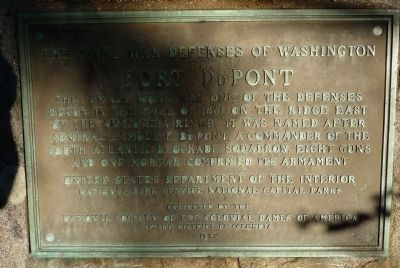
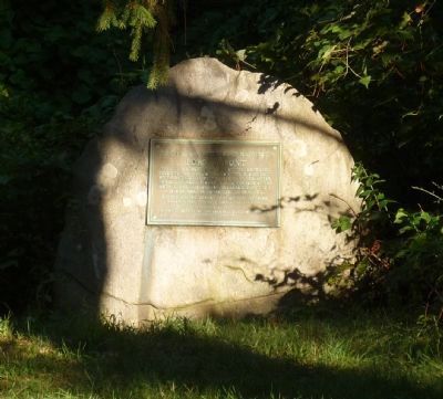
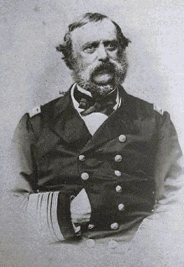
This small work was one of the defenses begun in the fall of 1861 on the ridge east of the Anacostia River. It was named after Admiral Samuel DuPont, a commander of the South Atlantic Blockade Squadron. Eight guns and one mortar comprised its armament.
Erected 1955 by National Society of the Colonial Dames of America in the District of Columbia; National Park Service.
Topics and series. This historical marker is listed in these topic lists: Military • Notable Places • War, US Civil. In addition, it is included in the Defenses of Washington, and the The Colonial Dames of America, National Society of series lists. A significant historical year for this entry is 1861.
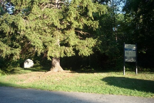
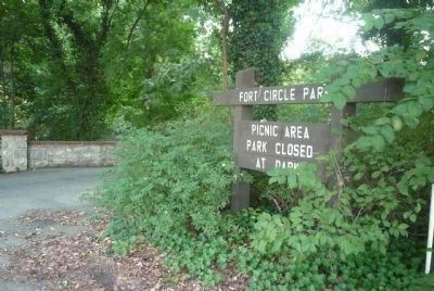
Location. 38° 52.389′ N, 76° 56.428′ W. Marker is in Southeast Washington in Washington, District of Columbia. It is in Fort Dupont. Marker can be reached from Alabama Avenue Southeast east of Massachusetts Avenue Northeast, on the left when traveling east. Two blocks from the Maryland state line, the marker panels are in the woods near the "Fort Circle" urban gardening/picnic area in the southeast section of Fort DuPont Park - at the north end of the one-way vehicle loop off Alabama Avenue Northeast. Touch for map. Marker is at or near this postal address: 4150 Alabama Avenue Southeast, Washington DC 20019, United States of America. Touch for directions.
Other nearby markers. At least 8 other markers are within walking distance of this marker. A different marker also named Fort DuPont (a few steps from this marker); Original Federal Boundary Stone, District of Columbia, Southeast 2 (approx. ¼ mile away in Maryland); First Rock Baptist Church (approx. half a mile away); First Rock Baptist Church Rain Garden (approx. half a mile away); Fort Davis (approx. 0.7 miles away); a different marker also named Fort Davis (approx. 0.7 miles away); Original Federal Boundary Stone, District of Columbia, Southeast 3 (approx. 0.9 miles away in Maryland); Woodlawn Cemetery (approx. 0.9 miles away). Touch for a list and map of all markers in Southeast Washington.
Also see . . .
1. RAdm Samuel Francis DuPont. (Submitted on August 23, 2011, by Richard E. Miller of Oxon Hill, Maryland.)
2. Fort Dupont Park: History and Culture. ... Runaway slaves found safety here before moving on to join the growing community of "contrabands" in Washington.... (Submitted on August 23, 2011, by Richard E. Miller of Oxon Hill, Maryland.)
Credits. This page was last revised on January 30, 2023. It was originally submitted on August 23, 2011, by Richard E. Miller of Oxon Hill, Maryland. This page has been viewed 1,089 times since then and 15 times this year. Photos: 1, 2, 3, 4, 5. submitted on August 23, 2011, by Richard E. Miller of Oxon Hill, Maryland. • Craig Swain was the editor who published this page.
