Perryville in Boyle County, Kentucky — The American South (East South Central)
Assault on Parsons’ Ridge
Perryville • The Battle For Kentucky
— October 8, 1862 —
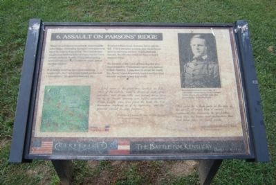
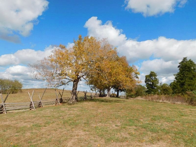
With bullets smashing against the remaining wooden rails, the Confederates traded gunfire with Union infantry. As casualties mounted, the Southern officers knew their men had to take the hill. If they attempted a retreat, they would be cut apart by the Union artillery. Urging their men forward, the officers crossed the fence to lead a renewed charge.
The intensity of the Union defense atop this steep slope stopped the Confederates again, only halfway to their objective. Lying down to escape the deadly fire, Maney’s men desperately loaded and fired their one-shot muskets as best they could.
[As] soon as the fence was reached, in full view of the battery, such a storm of shell, grape, canister, and Minie balls was turned loose upon us as no troops scarcely ever before encountered. Large boughs were torn from the trees; the trees themselves shattered as if by lightning, and the ground plowed in deep furrows.
Confederate Lieutenant Colonel William Frierson
27th Tennessee Infantry
[We] come to a high fence at the edge of the woods, at which time it seemed impossible for humanity to go farther, such was the havoc and destruction that had taken place in [our] ranks.
Confederate Colonel George C. Porter
6th Tennessee Infantry (Marker Number 6.)
Topics. This historical marker is listed in this topic list: War, US Civil.
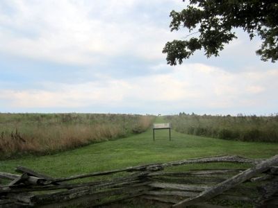
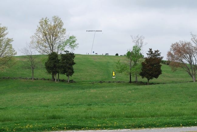
Location. 37° 40.63′ N, 84° 58.286′ W. Marker is in Perryville, Kentucky, in Boyle County. Marker can be reached from Park Road west of Battlefield Road (Kentucky Route 1920). Located in Perryville Battlefield State Historic Site. Touch for map. Marker is at or near this postal address: 1825 Battlefield Road, Perryville KY 40468, United States of America. Touch for directions.
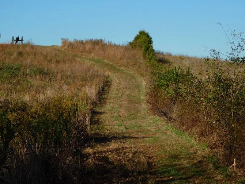
Other nearby markers. At least 8 other markers are within walking distance of this marker. Defense of Parsons’ Ridge (about 400 feet away, measured in a direct line); On this Spot Brig. Gen. James S. Jackson Fell (about 400 feet away); a different marker also named Defense of Parsons’ Ridge (about 500 feet away); Army of the Mississippi (about 600 feet away); Turner's Battery (about 600 feet away); Maney's Attack (about 600 feet away); The Cornfield (about 700 feet away); Union Monument (about 700 feet away). Touch for a list and map of all markers in Perryville.
More about this marker. On the upper right is a photograph with the caption, “From the hill in front of you a battery of eight cannon commanded by Union Lieutenant Charles Parsons (above) rained shells upon the advancing Confederate brigade.” United States Military History Institute, Carlisle, Pennsylvania
Credits. This page was last revised on April 29, 2021. It was originally submitted on August 25, 2011, by Bernard Fisher of Richmond, Virginia. This page has been viewed 959 times since then and 20 times this year. Photos: 1, 2. submitted on August 25, 2011, by Bernard Fisher of Richmond, Virginia. 3. submitted on September 14, 2015, by Brandon Fletcher of Chattanooga, Tennessee. 4. submitted on February 26, 2021, by Bradley Owen of Morgantown, West Virginia. 5. submitted on March 1, 2021, by Bradley Owen of Morgantown, West Virginia.
