Perryville in Boyle County, Kentucky — The American South (East South Central)
Sanctuary
Perryville • The Battle For Kentucky
— October 8, 1862 —
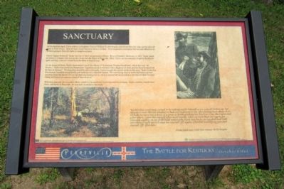
Union Captain Robert B. Taylor was one of these inexperienced officers. Born in Frankfort, Kentucky, in 1831, Taylor raised an infantry company and was quickly thrust into the Battle of Perryville. Here, Taylor and his company fought in Terrill’s brigade, and they were also forced from the fields in front of you.
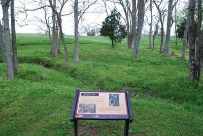
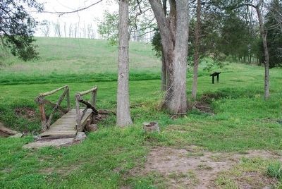
As the troops fell back, Taylor encountered one of his officers, 2nd Lieutenant Thomas Hutchinson, whose face was “all bloody.” Taylor discovered that Hutchinson “had been struck in the head with a fragment of shell, and the blood flowed from his face in streams.” Thinking they would be safe in this gully, Taylor brought the injured soldier to this area. Taylor wrote that Hutchinson “moaned and groaned, and made me very miserable indeed. We were laying close in under the bank to protect ourselves from the shower of iron hail that was raining over us, when a cannon ball struck within a few feet of where we were sitting, and raised an immense cloud of dust about us.”
With this close call, the wounded officer rushed to a hospital and Taylor rejoined his company. Taylor however, would never find a safe haven at Perryville. He was later wounded in the battle.
“By this time every man seemed to be looking out for himself as we were all broken up. For my part I could not tell whether we had any regiment or not. After falling back about 15 or 20 rods we came into a kind of a grove so getting behind the first tree I saw the Captn and a few others. I gave [the enemy] a few more rounds. While we were there our Captn got wounded slightly on top of the head making the blood run freely. He laughed and said something I could not tell what but started [off] again. I finished loading my gun and started [off] after him.”
Private Josiah Ayre, 105th Ohio Infantry, Terrill’s Brigade
The U.S. Small Business Administration (SBA) Grant No. SBAAHQ-01-I-0036 is funded by the SBA. SBA’s funding is not an endorsement of any products, opinions or services. All SBA funded programs are extended to the public on a nondiscriminatory basis. The Southern and Eastern Kentucky Tourism Development Association (SEKTDA) is the sole owner of this panel. To receive more information on SEKTDA and its programs call toll free (877-TOURSEKY) or visit our website at www.tourseky.com.
Erected by Southern and Eastern Kentucky Tourism Development Association (SEKTDA).
Topics. This historical marker is listed in this topic list: War, US Civil. A significant historical year for this entry is 1831.
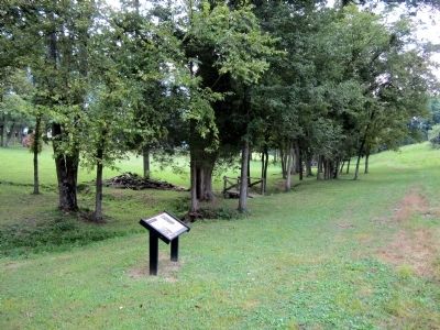
Location. 37° 40.45′ N, 84° 58.302′ W. Marker is in Perryville, Kentucky, in Boyle County. Marker can be reached from Park Road west of Battlefield Road (Kentucky Route 1920). Located in Perryville Battlefield State Historic Site. Touch for map. Marker is at or near this postal address: 1825 Battlefield Road, Perryville KY 40468, United States of America. Touch for directions.
Other nearby markers. At least 8 other markers are within walking distance of this marker. The Battle of Perryville (about 300 feet away, measured in a direct line); Confederate Cemetery (about 300 feet away); Squire Henry P. Bottom (about 400 feet away); Perryville Confederate Memorial (about 400 feet away); Perryville Battlefield (about 400 feet away); Union Monument (about 400 feet away); Perryville and the Emancipation Proclamation (about 400 feet away); Soldiers' Reaction to Lincoln's Emancipation (about 400 feet away). Touch for a list and map of all markers in Perryville.
More about this marker. On the left is a painting, "A Skirmish in the Wilderness" by Winslow Homer 1864
Also see . . . The Southern and Eastern Kentucky Tourism Development Association (SEKTDA). (Submitted on August 25, 2011.)
Credits. This page was last revised on April 29, 2021. It was originally submitted on August 25, 2011, by Bernard Fisher of Richmond, Virginia. This page has been viewed 723 times since then and 14 times this year. Photos: 1, 2. submitted on August 25, 2011, by Bernard Fisher of Richmond, Virginia. 3, 4. submitted on September 14, 2015, by Brandon Fletcher of Chattanooga, Tennessee.


