Port Orange in Volusia County, Florida — The American South (South Atlantic)
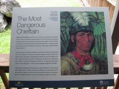
The Most Dangerous Chieftain
Dunlawton itself was wrecked in December 1835 after the Andersons reluctantly left their lands. Militiamen returned to the burned-out property in January 1836, found Indians present, and started a running skirmish between here and the Halifax River. They escaped with several casualties - including one man shot in the "sitting down place" when he exposed his backside to the Seminoles. "So ended the fight of Dunlawton," wrote a participant, "in which we were completely whipped by the Indians."
Unfortunately for these green volunteers, their company had taken on a warrior. Along with his father (known as Philip), Coacoochee, or Wildcat, was operating in lands he knew and loved. Regular army officers found the young leader handsome and eloquent. But one also called Coacoochee "by far the most dangerous chieftain in the field."
[ Image ]
Coacoochee (Wildcat), a raider of frontier settlements during the Second Seminole War.
Limited-edition print (from an original painting) by James Hutchinson. Used by permission of the artist.
Erected by Volusia County and the State of Florida, Department of State, Division of Historical Resources, assisted by the Florida Historical Commission.
Topics. This historical marker is listed in these topic lists: Industry & Commerce • Native Americans • Settlements & Settlers • Wars, US Indian. A significant historical month for this entry is January 1836.
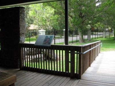
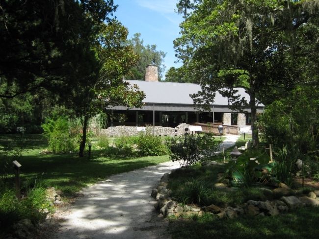
Location. 29° 8.473′ N, 81° 0.344′ W. Marker is in Port Orange, Florida, in Volusia County. Marker can be reached from Old Sugar Mill Road east of Herbert Street, on the left when traveling east. The marker is on the grounds of the Dunlawton Sugar Mill Botanical Gardens, mounted along the boardwalk at the sugar mill ruins. Touch for map. Marker is at or near this postal address: 950 Old Sugar Mill Road, Port Orange FL 32129, United States of America. Touch for directions.
Other nearby markers. At least 8 other markers are within walking distance of this marker. From the Boardwalk (here, next to this marker); Telling Dunlawton's Stories (a few steps from this marker); Sugar Making (a few steps from this marker); Working (a few steps from this marker); The Roof (a few steps from this marker); The Dunlawton Sugar Factory (a few steps from this marker); Dunlawton's Building Blocks (a few steps from this marker); Living on the Edge (a few steps from this marker). Touch for a list and map of all markers in Port Orange.
More about this marker. The marker features the logos of Volusia County and the Florida Heritage program.
Regarding The Most Dangerous Chieftain. The site was listed with the National Register of Historic Places in 1973 under the name Dunlawton Plantation--Sugar Mill Ruins (# 73000606).
Related markers. Click here for a list of markers that are related to this marker. To better understand the story of the Dunlawton Plantation and Sugar Mill Ruins, study each marker in the order shown.
Also see . . . Wild Cat - Coacoochee. biography on Wikipedia (Submitted on August 27, 2011, by Glenn Sheffield of Tampa, Florida.)
Credits. This page was last revised on June 16, 2016. It was originally submitted on August 26, 2011, by Glenn Sheffield of Tampa, Florida. This page has been viewed 966 times since then and 34 times this year. Photos: 1. submitted on August 26, 2011, by Glenn Sheffield of Tampa, Florida. 2, 3. submitted on August 27, 2011, by Glenn Sheffield of Tampa, Florida. • Bill Pfingsten was the editor who published this page.


