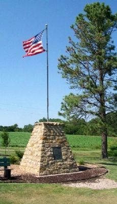
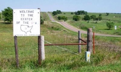
Near Lebanon in Smith County, Kansas — The American Midwest (Upper Plains)
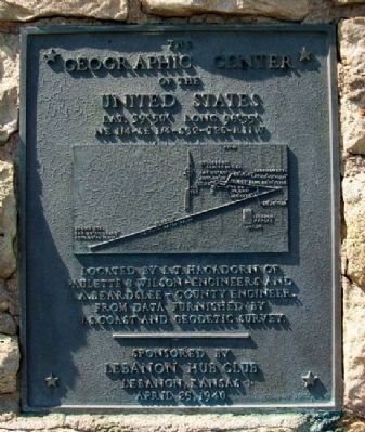
The Geographic Center of the United States
Lat. 39º 50' Long. 98º 35'
— NE 1/4 - SE 1/4 - S32 - T2S - R 11 W —
Inscription.
Paulette & Wilson - Engineers and
L.A. Beardslee - County Engineer.
From data furnished by
U.S. Coast and Geodetic Survey.
Dedicated April 25, 1940
Erected 1940 by Lebanon Hub Club.
Topics. This historical marker is listed in this topic list: Notable Places. A significant historical date for this entry is April 25, 1837.
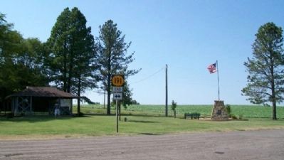
Location. 39° 49.7′ N, 98° 34.765′ W. Marker is near Lebanon, Kansas, in Smith County. Marker is at the intersection of 130th Road (State Highway 191) and AA Road when traveling west on 130th Road. Monument is about one mile west of US Highway 281. Touch for map. Marker is in this post office area: Lebanon KS 66952, United States of America. Touch for directions.
Other nearby markers. At least 4 other markers are within 13 miles of this marker, measured as the crow flies. U.S. Geographic Center Cedar Tree (here, next to this marker); The Geographic Center (approx. 3.1 miles away); a different marker also named The Geographic Center (approx. 3½ miles away); Willa Cather Memorial Prairie (approx. 12½ miles away in Nebraska).
Related markers. Click here for a list of markers that are related to this marker.
Also see . . . Geographic Center of the U.S. (Submitted on August 27, 2011, by William Fischer, Jr. of Scranton, Pennsylvania.)
Credits. This page was last revised on January 20, 2022. It was originally submitted on August 27, 2011, by William Fischer, Jr. of Scranton, Pennsylvania. This page has been viewed 854 times since then and 10 times this year. Photos: 1, 2, 3, 4. submitted on August 27, 2011, by William Fischer, Jr. of Scranton, Pennsylvania.


