Anacostia in Southeast Washington in Washington, District of Columbia — The American Northeast (Mid-Atlantic)
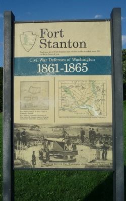
Fort Stanton
Civil War Defenses of Washington
— 1861 – 1865 —
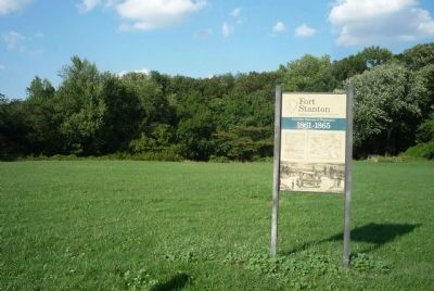
Earthworks of Fort Stanton are visible in the wooded area 200 yards in front of you.
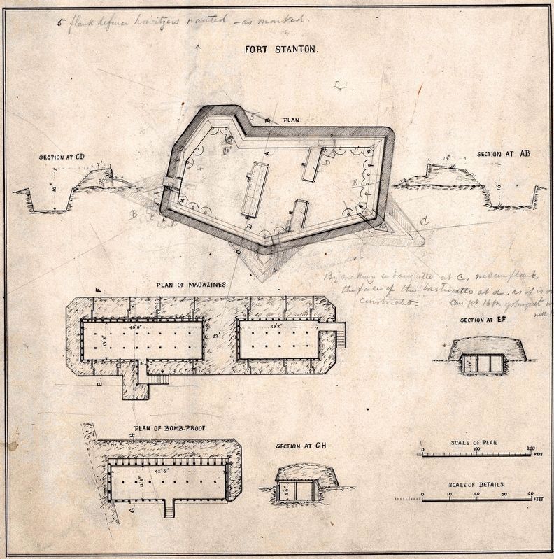
Diagram:
Fort Stanton from U.S. Army Corps of Engineers drawing.
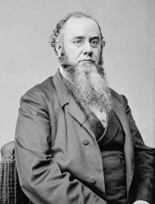
Fort Stanton was named for Secretary of War Edwin M. Stanton, was the first fort constructed beyond the Anacostia River.
Map:
Other Civil War fort locations administered by the National Park Service.
Period photograph of artillerists at an unspecified battery belonging to the Civil War Defenses of Washington: During the Civil War, Washington’s forts overlooked farm land.
Erected by National Park Service, U.S. Department of the Interior.
Topics and series. This historical marker is listed in these topic lists: Forts and Castles • War, US Civil. In addition, it is included in the Defenses of Washington series list.
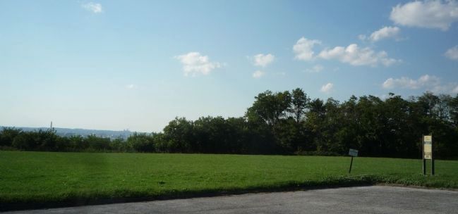
Location. 38° 51.491′ N, 76° 58.977′ W. Marker is in Southeast Washington in Washington, District of Columbia. It is in Anacostia. Marker can be reached from Morris Road Southeast west of 16th Street Southeast, on the right when traveling west. Marker is south of the Fort Stanton works in a cleared field shown on road maps as the Wilkinson Recreation Center - off the northwest corner of the west parking lot for Our Lady of Perpetual Help Catholic Church. It is accessible via the church's driveway which is identified as "private property". Touch for map. Marker is at or near this postal address: 1600 Morris Road Southeast, Washington DC 20020, United States of America. Touch for directions.
Other nearby markers. At least 8 other markers are within walking distance of this marker. Thurgood Marshall (approx. 0.3 miles away); Frederick Douglass's Rustic Retreat (approx. 0.3 miles away); Frederick Douglass National Historic Site (approx. 0.4 miles away); Battery Ricketts (approx. 0.4 miles away); Freedom Grove (1838) (approx. 0.4 miles away); The Sage of Anacostia (approx. 0.4 miles away); Memorial Grove (1841-1895) (approx. half a mile away); Activist Grove (1833-1845) (approx. half a mile away). Touch for a list and map of all markers in Southeast Washington.
Also see . . .
1. Fort Stanton, Washington, DC. ... Not all the land that made up the site of Fort Stanton was converted to public park land. In 1920, local African-American Catholics constructed Our Lady of Perpetual Help church on land formerly owned by Dr. J.C. Norwood, a local physician. After the remaining grounds of the fort were purchased in 1925, nearby residents reportedly "walked family cows to Fort Stanton Park to graze before the school bell rang." Today, the church still stands adjacent to the grounds of the park. The Washington D.C. Department
of Parks and National Parks Service jointly manage the 67 acres of park land that stand on the site of the fort today. D.C. authorities manage approximately 11 acres that contain a recreation center and ball fields, while the National Parks Service manages the remaining acreage, which is mostly wooded and contains the remains of forts Stanton and Ricketts. The area also is site to the Anacostia Museum, a Smithsonian Institution facility devoted to the history of African-Americans. ... (Submitted on August 29, 2011, by Richard E. Miller of Oxon Hill, Maryland.)
2. Contraband: Former Slaves in the Capital during and after the Civil War. (Submitted on August 29, 2011, by Richard E. Miller of Oxon Hill, Maryland.)
Additional keywords. Our Lady of Perpetual Help Church; Fort Stanton, Anacostia.
Photographed By Devry Becker Jones (CC0), February 2, 2018
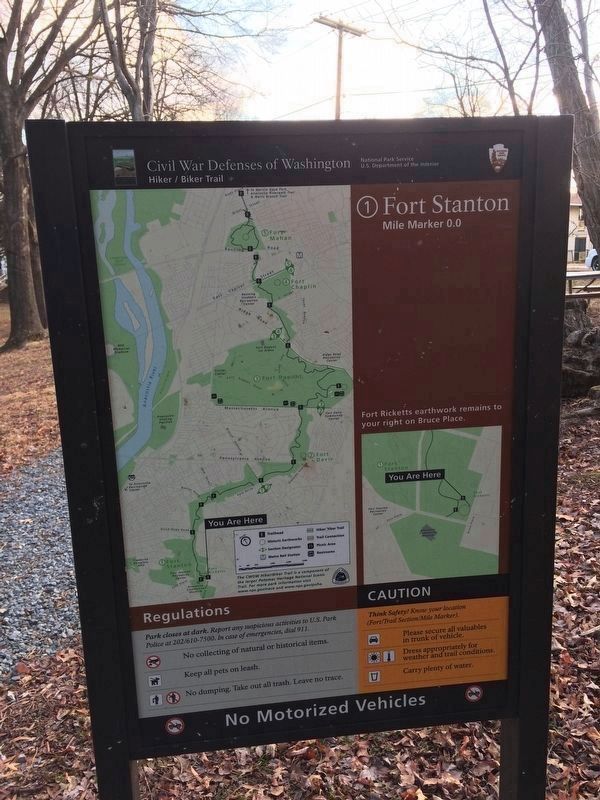
5. Sign at Fort Ricketts Park
Civil War Defenses of Washington
Hiker/Biker Trail
National Park Service
U.S. Department of the Interior
1. Fort Stanton
Mile Marker 0.0
Fort Ricketts earthwork remains to your right on Bruce Place.
Regulations
Park closes at dark. Report any suspicious activities to U.S. Park Police at 202/610-7500. In case of emergencies, dial 911.
No collecting of natural or historical items.
Keep all pets on leash.
No dumping. Take out all trash. Leave no trace.
Caution
Think Safety! Know your location (Fort/Trail Section/Mile Marker).
Please secure all valuables in trunk of vehicle.
Dress appropriately for weather and trail conditions.
Carry plenty of water.
Credits. This page was last revised on March 12, 2024. It was originally submitted on August 29, 2011, by Richard E. Miller of Oxon Hill, Maryland. This page has been viewed 1,206 times since then and 22 times this year. Photos: 1, 2, 3, 4. submitted on August 29, 2011, by Richard E. Miller of Oxon Hill, Maryland. 5. submitted on February 2, 2018, by Devry Becker Jones of Washington, District of Columbia. 6. submitted on March 12, 2024, by Allen C. Browne of Silver Spring, Maryland. • Craig Swain was the editor who published this page.
