Scotrun in Monroe County, Pennsylvania — The American Northeast (Mid-Atlantic)
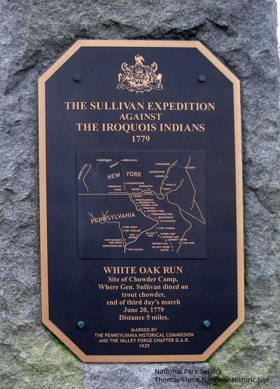
The Sullivan Expedition Against The Iroquois Indians 1779
White Oak Run
Inscription.
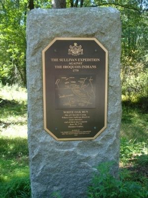
Site of Chowder camp, Where Gen. Sullivan dined on trout chowder, end of third day's march June 20, 1779 Distance 5 miles.
Erected 1929 by The Pennsylvania Historical Commission and the Valley Forge Chapter D.A.R.
Topics and series. This historical marker is listed in these topic lists: Native Americans • War, US Revolutionary. In addition, it is included in the Daughters of the American Revolution, the Pennsylvania Historical and Museum Commission, and the The Sullivan-Clinton Expedition Against the Iroquois Indians series lists. A significant historical date for this entry is June 20, 1884.
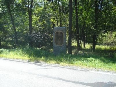
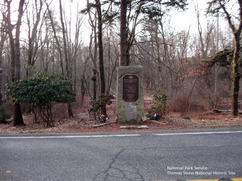
Location. 41° 4.86′ N, 75° 22.42′ W. Marker is in Scotrun, Pennsylvania, in Monroe County. Marker is on Sullivan Trail Road, 0.1 miles east of Crescent Lake Road, on the right when traveling east. Touch for map. Marker is in this post office area: Scotrun PA 18355, United States of America. Touch for directions.
Other nearby markers. At least 8 other markers are within 5 miles of this marker, measured as the crow flies. Veterans Memorial (approx. 3.1 miles away); Hungry Hill Revolutionary War Monument (approx. 4 miles away); Hungry Hill Memorial (approx. 4.1 miles away); World War 2 Honored Dead (approx. 4.2 miles away); World War 1 Honored Dead (approx. 4.2 miles away); Korean War Honored Dead (approx. 4.2 miles away); Vietnam War Honored Dead (approx. 4.2 miles away); Swiftwater Valley World War Memorial (approx. 4.3 miles away).
Also see . . . Sullivan Expedition - Wikipedia. (Submitted on September 5, 2011, by Bill Pfingsten of Bel Air, Maryland.)
Credits. This page was last revised on August 19, 2019. It was originally submitted on September 3, 2011. This page has been viewed 1,194 times since then and 300 times this year. Photos: 1. submitted on August 8, 2019. 2, 3. submitted on September 3, 2011. 4. submitted on August 8, 2019. • Bill Pfingsten was the editor who published this page.


