Near Mariposa in Mariposa County, California — The American West (Pacific Coastal)
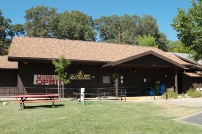
California State Mining and Mineral Museum
Inscription.
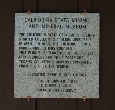
The California State Geological Society started collecting mineral specimens in 1865. In 1880, the California State Mining Bureau was founded. This plaque is dedicated to the miners and founders for their foresight. Todays collection displays specimens from all over the world.
Erected 1991 by E Clampus Vitus, Matuca Chapter No. 1849.
Topics and series. This historical marker is listed in this topic list: Natural Resources. In addition, it is included in the E Clampus Vitus series list. A significant historical year for this entry is 1865.
Location. 37° 27.885′ N, 119° 56.894′ W. Marker is near Mariposa, California, in Mariposa County. Marker can be reached from Fairgrounds Road near California Highway 49, on the right when traveling east. Touch for map. Marker is at or near this postal address: 5035 Fairgrounds Road, Mariposa CA 95338, United States of America. Touch for directions.
Other nearby markers. At least 8 other markers are within 2 miles of this marker, measured as the crow flies. Mormon Bar (about 500 feet away, measured in a direct line); St. Joseph’s Catholic Church (approx. 1.4 miles away); a different marker also named St. Joseph's Catholic Church (approx. 1˝ miles away); Mariposa County’s Old Stone Jail (approx. 1.6 miles away); Schlageter Hotel (approx. 1.6 miles away); Fremont Adobe (approx. 1.6 miles away); Capital Saloon (approx. 1.6 miles away); John Trabucco Building (approx. 1.6 miles away). Touch for a list and map of all markers in Mariposa.
Also see . . . California State Mining and Mineral Museum - California State Parks. (Submitted on September 4, 2011, by Barry Swackhamer of Brentwood, California.)
Credits. This page was last revised on June 16, 2016. It was originally submitted on September 4, 2011, by Barry Swackhamer of Brentwood, California. This page has been viewed 621 times since then and 9 times this year. Photos: 1, 2. submitted on September 4, 2011, by Barry Swackhamer of Brentwood, California. • Syd Whittle was the editor who published this page.

