Cathey's Valley in Mariposa County, California — The American West (Pacific Coastal)
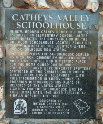
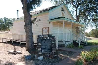
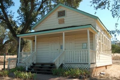
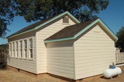
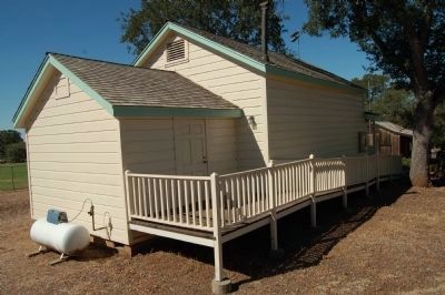
Catheys Valley Schoolhouse
Over the years the schoolhouse served as a church, community hall for dances. Hard time parties and a meeting place for the Home Guard during WW II. (The Home Guard were aircraft spotters stationed at the Charles Gordo Ranch where there was a “telephone.” With this information in enemy hands, it probably discouraged any plans of invasion of the United States.)
Lighting for the schoolhouse was by coal lamps until 1947 when electricity finally reached the area.
Erected 2001 by E Clampus Vitus, Matuca Chapter No. 1849.
Topics and series. This historical marker is listed in these topic lists: Education • Notable Buildings • War, World II. In addition, it is included in the E Clampus Vitus series list. A significant historical year for this entry is 1879.
Location. 37° 26.292′ N, 120° 5.124′ W. Marker is in Cathey's Valley, California, in Mariposa County. Marker can be reached from State Highway 140, on the right when traveling east. This marker is located in a 'history' park. Touch for map . Marker is at or near this postal address: 2820 California Highway 140, Catheys Valley CA 95306, United States of America. Touch for directions.
Other nearby markers. At least 8 other markers are within 8 miles of this marker, measured as the crow flies. Cathey's Valley (within shouting distance of this marker); Bridgeport (approx. 4˝ miles away); The Townsite of Agua Fria, California (approx. 5 miles away); Agua Fria (approx. 5.1 miles away); a different marker also named Agua Fria (approx. 5.1 miles away); La Mineta 1850 - Princeton 1854 - Mount Bullion 1862 (approx. 5.3 miles away); Indian Gulch (approx. 6.1 miles away); Mariposa Museum and History Center (approx. 7.2 miles away).
Additional keywords. Civil Defense, school
Credits. This page was last revised on June 16, 2016. It was originally submitted on September 4, 2011, by Barry Swackhamer of Brentwood, California. This page has been viewed 757 times since then and 41 times this year. Photos: 1, 2, 3, 4, 5. submitted on September 4, 2011, by Barry Swackhamer of Brentwood, California. • Syd Whittle was the editor who published this page.
