Near Powhatan in Powhatan County, Virginia — The American South (Mid-Atlantic)
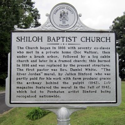
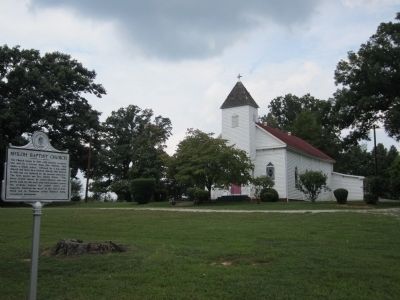
Shiloh Baptist Church
Erected 2007 by Michaux-St. James Foundation, Inc.
Topics. This historical marker is listed in these topic lists: African Americans • Arts, Letters, Music • Churches & Religion. A significant historical year for this entry is 1866.
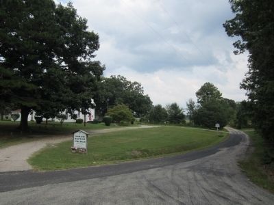
Location. 37° 37.169′ N, 77° 52.141′ W. Marker is near Powhatan, Virginia, in Powhatan County. Marker is at the intersection of Monte Road (Virginia Route 633) and Old River Trail (Virginia Route 617), on the left when traveling east on Monte Road. Touch for map. Marker is in this post office area: Powhatan VA 23139, United States of America. Touch for directions.
Other nearby markers. At least 8 other markers are within 4 miles of this marker, measured as the crow flies. Lee's Final Bivouac (approx. 2.6 miles away); Lee’s Last Bivouac (approx. 2.6 miles away); Lee's Last Camp (approx. 2.6 miles away); Tanglewood Ordinary (approx. 2.6 miles away); Monocan Indians Village of Pineville (Michaux) (approx. 2.7 miles away); Michaux Grant (approx. 2.7 miles away); The 1936 Virginia Prison Recordings (approx. 2.7 miles away); Early Transportation on the James River (approx. 3.4 miles away). Touch for a list and map of all markers in Powhatan.
Also see . . . Michaux-St. James Foundation. (Submitted on September 6, 2011.)
Credits. This page was last revised on November 11, 2021. It was originally submitted on September 6, 2011, by Bernard Fisher of Richmond, Virginia. This page has been viewed 1,290 times since then and 38 times this year. Photos: 1, 2, 3. submitted on September 6, 2011, by Bernard Fisher of Richmond, Virginia.


