Orange in Orange County, Virginia — The American South (Mid-Atlantic)
Orange Train Station
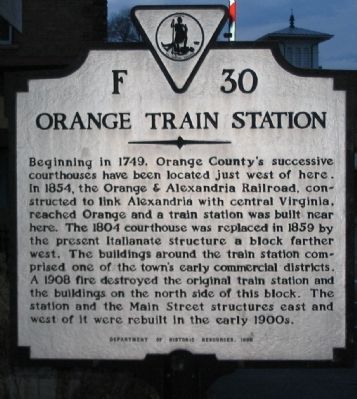
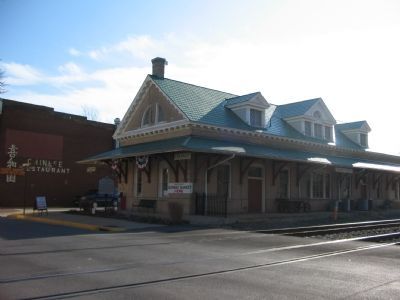
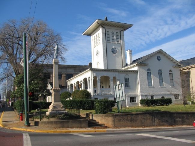
Beginning in 1749, Orange County's successive courthouses have been located just west of here. In 1854, the Orange & Alexandria Railroad, constructed to link Alexandria with central Virginia, reached Orange and a train station was built near here. The 1804 courthouse was replaced in 1859 by the present Italianate structure a block further west. The buildings around the train station comprised one of the town's early commercial districts. A 1908 fire destroyed the original train station and the buildings on the north side of this block. The station and the Main Street structures east and west of it were rebuilt in the early 1900s.
Erected 1998 by Department of Historic Resources. (Marker Number F-30.)
Topics and series. This historical marker is listed in these topic lists: Industry & Commerce • Railroads & Streetcars. In addition, it is included in the Orange and Alexandria Railroad, and the Virginia Department of Historic Resources (DHR) series lists. A significant historical year for this entry is 1749.
Location. 38° 14.72′ N, 78° 6.604′ W. Marker is in Orange, Virginia, in Orange County. Marker is at the intersection of East Main Street (State Highway 20) and Short Street, on the right when traveling east on East Main Street . Located at the old train station, just to the east of the train tracks. Touch for map. Marker is at or near this postal address: 122 E Main St, Orange VA 22960, United States of America. Touch for directions.
Other nearby markers. At least 8 other markers are within walking distance of this marker. Orange County Visitor Center (a few steps from this marker); The Orange Railroad Depot (within shouting distance of this marker); Welcome to… The Town of Orange (within shouting distance of this marker); Historic Downtown Orange (within shouting distance of this marker); Town of Orange (within shouting distance of this marker); Crosthwaite Alley (about 300 feet away, measured in a direct line); General Zachary Taylor (about 300 feet away); Confederate Dead (about 300 feet away). Touch for a list and map of all markers in Orange.
Also see . . . Orange and Alexandrea Railroad. Wikipedia entry (Submitted on September 3, 2023, by Larry Gertner of New York, New York.)
Credits. This page was last revised on September 3, 2023. It was originally submitted on January 13, 2008, by Craig Swain of Leesburg, Virginia. This page has been viewed 2,060 times since then and 64 times this year. Last updated on April 12, 2021, by Carl Gordon Moore Jr. of North East, Maryland. Photos: 1, 2, 3, 4. submitted on January 13, 2008, by Craig Swain of Leesburg, Virginia. • Bernard Fisher was the editor who published this page.


